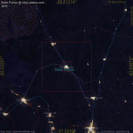
Deán Funes night lights from space
Night Light of Deán Funes (Cordoba) from space (Argentina) Src. Average luminocity for 10x10km area is 11.2436% and for 50x50km: 0.8349%.

Analysis of Deán Funes night lights 2016
Square area 10x10 km:
 1.47%
1.47%90-99
1.47%80-89
0.73%70-79
2.93%60-69
1.47%50-59
2.01%40-49
0.92%30-39
1.65%20-29
0.55%10-19
0%0-9
86.81%Square area 50x50 km:
0.06%90-99
0.06%80-89
0.12%70-79
0.21%60-69
0.15%50-59
0.16%40-49
0.07%30-39
0.21%20-29
0.06%10-19
0%0-9
98.9%Clear (daylight) street map image can be seen on geolist.org.
Map coordinates:
29° 48' 43.8" South, 65° 3' 10.7" West
30° 25' 13.3" South, 64° 20' 59.4" West
31° 1' 29.3" South, 63° 38' 48.2" West
Some cities around Deán Funes sort by population:
• Cruz del Eje
55.2 km =34.3 mi,  231°
231°
• Jesús María
67 km =41.6 mi,  158°
158°
• La Falda
75.5 km =46.9 mi,  190°
190°
• Capilla del Monte
51.8 km =32.2 mi,  198°
198°
• La Cumbre
63.9 km =39.7 mi, 192°
• Villa del Totoral
74.9 km =46.5 mi,  126°
126°
• Huerta Grande
74 km =46 mi, 190°
• Valle Hermoso
78.5 km =48.8 mi, 189°
3859512 (p: 20,164)
Sources (retrieved 2019-11-25):
» Earth at Night: Flat Maps 2012, 2016