Vicuña Mackenna night lights from space
Night Light of Vicuña Mackenna (Cordoba) from space (Argentina) Src. Average luminocity for 10x10km area is 9.708% and for 50x50km: 0.4843%.
Analysis of Vicuña Mackenna night lights 2016
Square area 10x10 km:
 1.22%
1.22%90-99
0.87%80-89
1.75%70-79
2.45%60-69
0.35%50-59
1.22%40-49
1.92%30-39
1.4%20-29
0%10-19
0%0-9
88.81%Square area 50x50 km:
0.05%90-99
0.04%80-89
0.1%70-79
0.1%60-69
0.01%50-59
0.05%40-49
0.11%30-39
0.14%20-29
0.03%10-19
0%0-9
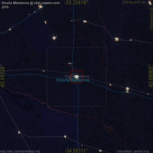
99.37%Clear (daylight) street map image can be seen on geolist.org.
Map coordinates:
33° 20' 3.1" South, 65° 5' 43" West
33° 55' 10.7" South, 64° 23' 31.7" West
34° 30' 4" South, 63° 41' 20.5" West
Some cities around Vicuña Mackenna sort by population:
• Río Cuarto
87.8 km =54.6 mi,  2°
2°
• Laboulaye
95.1 km =59.1 mi,  104°
104°
• Justo Daract
73.3 km =45.5 mi,  275°
275°
• Coronel Moldes
38.1 km =23.7 mi,  330°
330°
• Sampacho
66.9 km =41.6 mi, 332°
• Adelia María
46.9 km =29.1 mi,  46°
46°
• General Levalle
44.4 km =27.6 mi, 103°
• Las Higueras
92.5 km =57.5 mi,  5°
5°
3832917 (p: 8,994)
Sources (retrieved 2019-11-25):
» Earth at Night: Flat Maps 2012, 2016