Villa del Totoral night lights from space
Night Light of Villa del Totoral (Cordoba) from space (Argentina) Src. Average luminocity for 10x10km area is 0% and for 50x50km: 0.1363%.
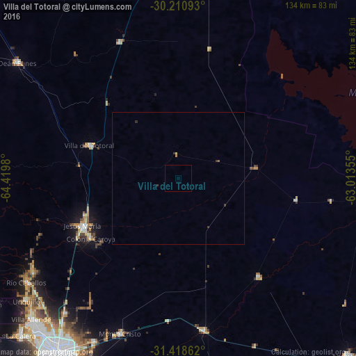
Analysis of Villa del Totoral night lights 2016
Square area 10x10 km:
 0%
0%90-99
0%80-89
0%70-79
0%60-69
0%50-59
0%40-49
0%30-39
0%20-29
0%10-19
0%0-9
100%Square area 50x50 km:
0%90-99
0%80-89
0.02%70-79
0.01%60-69
0.05%50-59
0.01%40-49
0%30-39
0.15%20-29
0.03%10-19
0%0-9
99.73%Clear (daylight) street map image can be seen on geolist.org.
Map coordinates:
30° 12' 39.3" South, 64° 25' 11.3" West
30° 49' 0" South, 63° 43' 0" West
31° 25' 7" South, 63° 0' 48.8" West
Some cities around Villa del Totoral sort by population:
• Jesús María
40.4 km =25.1 mi,  243°
243°
• Deán Funes
74.9 km =46.5 mi,  306°
306°
• Río Ceballos
69.5 km =43.2 mi, 236°
• Unquillo
73.4 km =45.6 mi,  231°
231°
• Malvinas Argentinas
70.6 km =43.9 mi,  207°
207°
• Monte Cristo
62.4 km =38.8 mi,  200°
200°
• Santa Rosa de Río Primero
47.9 km =29.8 mi,  141°
141°
• Salsipuedes
65.7 km =40.8 mi, 237°
3832763 (p: 7,110)
Sources (retrieved 2019-11-25):
» Earth at Night: Flat Maps 2012, 2016