Sastre night lights from space
Night Light of Sastre (Santa Fe) from space (Argentina) Src. Average luminocity for 10x10km area is 5.7821% and for 50x50km: 1.479%.
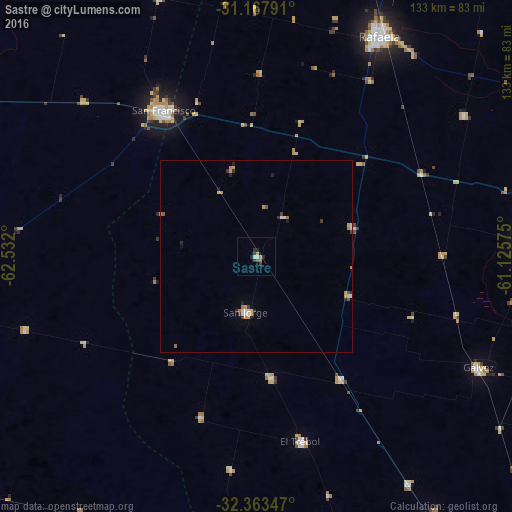
Analysis of Sastre night lights 2016
Square area 10x10 km:
 0.37%
0.37%90-99
1.1%80-89
0%70-79
0.73%60-69
1.83%50-59
0.37%40-49
0%30-39
2.56%20-29
2.01%10-19
0.55%0-9
90.48%Square area 50x50 km:
0.2%90-99
0.21%80-89
0.08%70-79
0.39%60-69
0.23%50-59
0.12%40-49
0.05%30-39
0.31%20-29
0.39%10-19
0.14%0-9
97.89%Clear (daylight) street map image can be seen on geolist.org.
Map coordinates:
31° 10' 4.5" South, 62° 31' 55.2" West
31° 46' 3.4" South, 61° 49' 43.9" West
32° 21' 48.5" South, 61° 7' 32.7" West
Some cities around Sastre sort by population:
• Rafaela
66 km =41 mi,  29°
29°
• San Francisco
44.8 km =27.8 mi,  327°
327°
• Gálvez
64.3 km =40 mi,  116°
116°
• San Jorge
14.6 km =9.1 mi,  191°
191°
• Las Rosas
82.2 km =51.1 mi,  163°
163°
• El Trébol
49.6 km =30.8 mi,  165°
165°
• San Carlos Centro
69.8 km =43.4 mi,  86°
86°
• Devoto
60.6 km =37.7 mi,  311°
311°
3835695 (p: 5,521)
Sources (retrieved 2019-11-25):
» Earth at Night: Flat Maps 2012, 2016