Rafaela night lights from space
Night Light of Rafaela (Santa Fe) from space (Argentina) Src. Average luminocity for 10x10km area is 56.2894% and for 50x50km: 4.1321%.
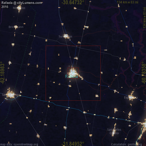
Analysis of Rafaela night lights 2016
Square area 10x10 km:
 16.67%
90-99
13.37%80-89
7.51%70-79
3.85%60-69
6.59%50-59
4.76%40-49
2.01%30-39
7.69%20-29
16.67%10-19
20.33%0-9
0.55%Square area 50x50 km:
0.71%90-99
0.62%80-89
0.6%70-79
0.47%60-69
0.49%50-59
0.33%40-49
0.31%30-39
0.72%20-29
0.96%10-19
3.2%0-9
91.59%Clear (daylight) street map image can be seen on geolist.org.
Map coordinates:
30° 38' 50.4" South, 62° 11' 23.4" West
31° 15' 1.2" South, 61° 29' 12.1" West
31° 50' 58.3" South, 60° 47' 0.9" West
Some cities around Rafaela sort by population:
• San Francisco
59.9 km =37.2 mi,  250°
250°
• Esperanza
57.1 km =35.5 mi,  112°
112°
• Sunchales
34.8 km =21.6 mi,  348°
348°
• Morteros
77.3 km =48 mi,  320°
320°
• Recreo
76.4 km =47.5 mi, 110°
• San Carlos Centro
65 km =40.4 mi,  144°
144°
• Brinkmann
67.7 km =42.1 mi,  309°
309°
• Sastre
66 km =41 mi,  209°
209°
3839479 (p: 88,713)
Sources (retrieved 2019-11-25):
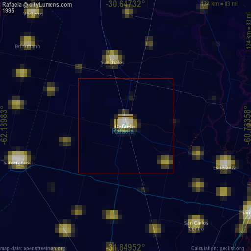
» NASA, Earths city lights 1995
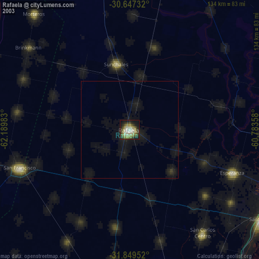
» NASA city lights 2003
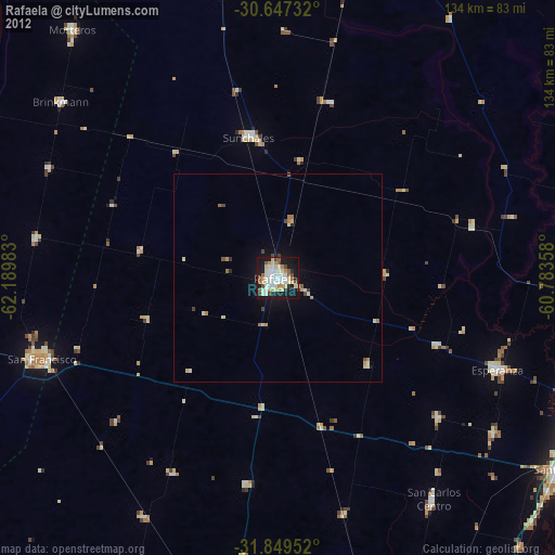
» Earth at Night: Flat Maps 2012, 2016