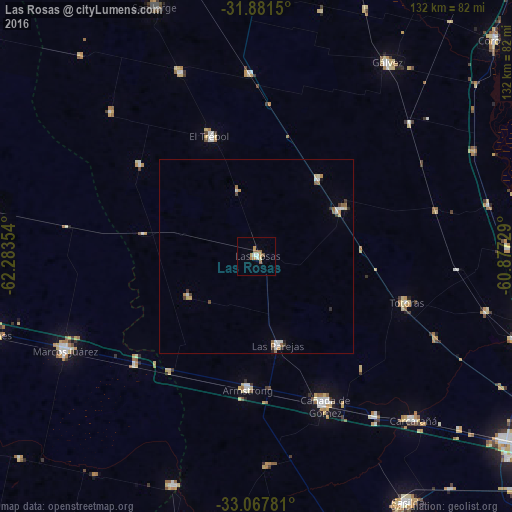
Las Rosas night lights from space
Night Light of Las Rosas (Santa Fe) from space (Argentina) Src. Average luminocity for 10x10km area is 9.6447% and for 50x50km: 1.615%.
Analysis of Las Rosas night lights 2016
Square area 10x10 km:
 1.28%
1.28%90-99
0.92%80-89
1.47%70-79
1.83%60-69
2.93%50-59
1.47%40-49
0.37%30-39
0%20-29
0%10-19
0%0-9
89.74%Square area 50x50 km:
0.25%90-99
0.27%80-89
0.16%70-79
0.16%60-69
0.39%50-59
0.19%40-49
0.14%30-39
0.22%20-29
0.09%10-19
0.06%0-9
98.07%Clear (daylight) street map image can be seen on geolist.org.
Map coordinates:
31° 52' 53.4" South, 62° 17' 0.7" West
32° 28' 35.8" South, 61° 34' 49.5" West
33° 4' 4.1" South, 60° 52' 38.2" West
Some cities around Las Rosas sort by population:
• Cañada de Gómez
41.6 km =25.8 mi,  155°
155°
• Marcos Juárez
55.1 km =34.2 mi,  243°
243°
• Gálvez
60.1 km =37.3 mi,  34°
34°
• Carcarañá
58.2 km =36.2 mi,  136°
136°
• Las Parejas
23.9 km =14.9 mi,  165°
165°
• El Trébol
32.7 km =20.3 mi,  339°
339°
• Armstrong
34 km =21.1 mi,  183°
183°
• Totoras
40.4 km =25.1 mi,  107°
107°
3847836 (p: 12,793)
Sources (retrieved 2019-11-25):
» Earth at Night: Flat Maps 2012, 2016