Devoto night lights from space
Night Light of Devoto (Cordoba) from space (Argentina) Src. Average luminocity for 10x10km area is 4.0734% and for 50x50km: 2.4423%.
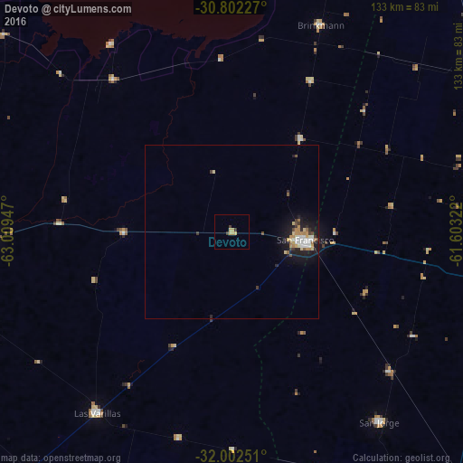
Analysis of Devoto night lights 2016
Square area 10x10 km:
 0%
0%90-99
0%80-89
1.4%70-79
1.92%60-69
0.17%50-59
0%40-49
0.35%30-39
1.75%20-29
0%10-19
0%0-9
94.41%Square area 50x50 km:
0.31%90-99
0.37%80-89
0.4%70-79
0.29%60-69
0.38%50-59
0.18%40-49
0.22%30-39
0.4%20-29
0.43%10-19
2.17%0-9
94.86%Clear (daylight) street map image can be seen on geolist.org.
Map coordinates:
30° 48' 8.2" South, 63° 0' 34.1" West
31° 24' 15.5" South, 62° 18' 22.8" West
32° 0' 9" South, 61° 36' 11.6" West
Some cities around Devoto sort by population:
• Rafaela
79.7 km =49.5 mi,  77°
77°
• San Francisco
21.4 km =13.3 mi,  97°
97°
• Arroyito
70.6 km =43.9 mi,  268°
268°
• San Jorge
69.1 km =42.9 mi,  142°
142°
• Las Varillas
65.1 km =40.5 mi,  216°
216°
• Brinkmann
65.1 km =40.5 mi,  23°
23°
• Balnearia
55.8 km =34.7 mi,  322°
322°
• Sastre
60.6 km =37.7 mi,  131°
131°
3859409 (p: 5,597)
Sources (retrieved 2019-11-25):
» Earth at Night: Flat Maps 2012, 2016