San Jorge night lights from space
Night Light of San Jorge (Santa Fe) from space (Argentina) Src. Average luminocity for 10x10km area is 12.3681% and for 50x50km: 1.4746%.
Analysis of San Jorge night lights 2016
Square area 10x10 km:
 2.38%
2.38%90-99
2.01%80-89
0.73%70-79
2.93%60-69
1.1%50-59
0.37%40-49
0.18%30-39
2.01%20-29
2.75%10-19
0.37%0-9
85.16%Square area 50x50 km:
0.2%90-99
0.19%80-89
0.19%70-79
0.27%60-69
0.28%50-59
0.07%40-49
0.04%30-39
0.34%20-29
0.26%10-19
0.12%0-9
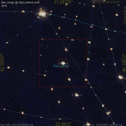
98.04%Clear (daylight) street map image can be seen on geolist.org.
Map coordinates:
31° 17' 50.2" South, 62° 33' 46.7" West
31° 53' 46.2" South, 61° 51' 35.4" West
32° 29' 28.3" South, 61° 9' 24.2" West
Some cities around San Jorge sort by population:
• Rafaela
80 km =49.7 mi,  26°
26°
• San Francisco
56.2 km =34.9 mi,  337°
337°
• Gálvez
62.1 km =38.6 mi,  103°
103°
• Las Rosas
69.7 km =43.3 mi,  157°
157°
• El Trébol
37 km =23 mi, 156°
• San Carlos Centro
74.9 km =46.5 mi,  75°
75°
• Devoto
69.1 km =42.9 mi,  322°
322°
• Sastre
14.6 km =9.1 mi,  11°
11°
3837441 (p: 16,873)
Sources (retrieved 2019-11-25):
» Earth at Night: Flat Maps 2012, 2016