Santiago del Estero night lights from space
Night Light of Santiago del Estero from space (Argentina) Src. Average luminocity for 10x10km area is 89.0337% and for 50x50km: 10.2611%.
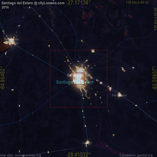
Analysis of Santiago del Estero night lights 2016
Square area 10x10 km:
 32.74%
90-99
32.94%80-89
8.33%70-79
9.13%60-69
12.3%50-59
3.37%40-49
0.4%30-39
0.79%20-29
0%10-19
0%0-9
0%Square area 50x50 km:
1.84%90-99
1.79%80-89
0.94%70-79
1.17%60-69
1.85%50-59
1.04%40-49
1.46%30-39
2.18%20-29
2.44%10-19
4.89%0-9
80.4%Clear (daylight) street map image can be seen on geolist.org.
Map coordinates:
27° 10' 16.8" South, 64° 57' 52.6" West
27° 47' 42.4" South, 64° 15' 41.4" West
28° 24' 55.2" South, 63° 33' 30.1" West
Some cities around Santiago del Estero sort by population:
• Termas de Río Hondo
67.8 km =42.1 mi,  299°
299°
• Clodomira
27.7 km =17.2 mi,  27°
27°
• Simoca
123.1 km =76.5 mi, 298°
• La Cocha
130.4 km =81 mi,  271°
271°
• Los Altos
124.8 km =77.5 mi,  256°
256°
• Suncho Corral
83.2 km =51.7 mi,  100°
100°
• Beltrán
20.1 km =12.5 mi, 100°
• Graneros
117 km =72.7 mi,  277°
277°
3835869 (p: 354,692)
Sources (retrieved 2019-11-25):
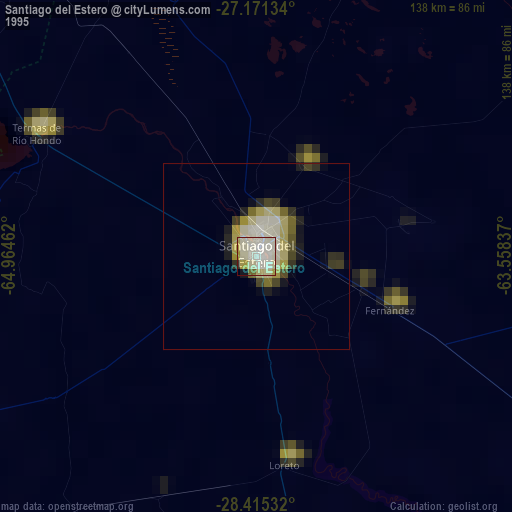
» NASA, Earths city lights 1995
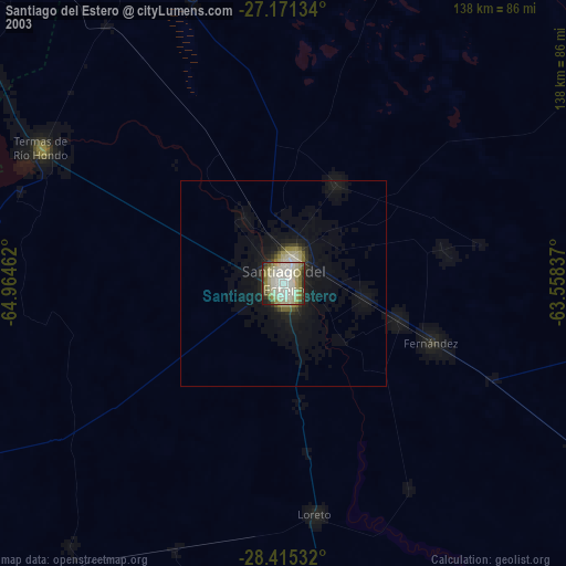
» NASA city lights 2003
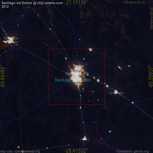
» Earth at Night: Flat Maps 2012, 2016