Graneros night lights from space
Night Light of Graneros (Tucuman) from space (Argentina) Src. Average luminocity for 10x10km area is 2.25% and for 50x50km: 2.5924%.
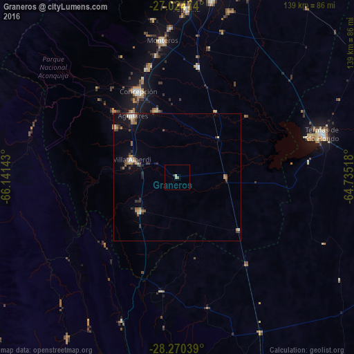
Analysis of Graneros night lights 2016
Square area 10x10 km:
 0%
0%90-99
0.6%80-89
0.99%70-79
0%60-69
0%50-59
0.79%40-49
0%30-39
0.79%20-29
0%10-19
0%0-9
96.83%Square area 50x50 km:
0.13%90-99
0.34%80-89
0.35%70-79
0.3%60-69
0.52%50-59
0.34%40-49
0.21%30-39
0.7%20-29
0.42%10-19
1.21%0-9
95.48%Clear (daylight) street map image can be seen on geolist.org.
Map coordinates:
27° 1' 29.1" South, 66° 8' 29.1" West
27° 38' 57.6" South, 65° 26' 17.9" West
28° 16' 13.4" South, 64° 44' 6.6" West
Some cities around Graneros sort by population:
• Aguilares
29.6 km =18.4 mi,  324°
324°
• Famaillá
66.3 km =41.2 mi,  2°
2°
• Termas de Río Hondo
59.6 km =37 mi,  73°
73°
• Monteros
53.9 km =33.5 mi,  353°
353°
• Bella Vista
69.7 km =43.3 mi,  11°
11°
• Simoca
43.7 km =27.2 mi, 10°
• La Cocha
19.8 km =12.3 mi,  227°
227°
• Los Altos
44.8 km =27.8 mi,  187°
187°
3854724 (p: 5,263)
Sources (retrieved 2019-11-25):
» Earth at Night: Flat Maps 2012, 2016