Los Altos night lights from space
Night Light of Los Altos (Catamarca) from space (Argentina) Src. Average luminocity for 10x10km area is 2.553% and for 50x50km: 0.5216%.
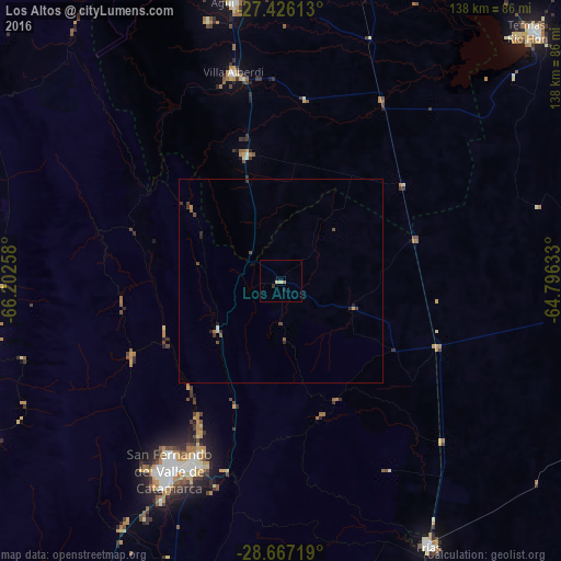
Analysis of Los Altos night lights 2016
Square area 10x10 km:
 0%
0%90-99
0%80-89
1.52%70-79
0%60-69
0.76%50-59
0%40-49
0%30-39
0.76%20-29
0%10-19
2.08%0-9
94.89%Square area 50x50 km:
0.02%90-99
0.02%80-89
0.08%70-79
0.04%60-69
0.08%50-59
0.1%40-49
0.17%30-39
0.26%20-29
0.14%10-19
0.14%0-9
98.95%Clear (daylight) street map image can be seen on geolist.org.
Map coordinates:
27° 25' 34.1" South, 66° 12' 9.3" West
28° 2' 54.4" South, 65° 29' 58" West
28° 40' 1.9" South, 64° 47' 46.8" West
Some cities around Los Altos sort by population:
• San Fernando del Valle de Catamarca
54.6 km =33.9 mi,  210°
210°
• Aguilares
69.3 km =43.1 mi,  350°
350°
• Termas de Río Hondo
88.1 km =54.7 mi,  45°
45°
• Andalgalá
95.6 km =59.4 mi,  302°
302°
• Simoca
88.5 km =55 mi,  9°
9°
• Huillapima
88.7 km =55.1 mi, 211°
• La Cocha
32.2 km =20 mi,  344°
344°
• Graneros
44.8 km =27.8 mi, 7°
3846514 (p: 6,421)
Sources (retrieved 2019-11-25):
» Earth at Night: Flat Maps 2012, 2016