Clodomira night lights from space
Night Light of Clodomira (Santiago del Estero) from space (Argentina) Src. Average luminocity for 10x10km area is 6.3254% and for 50x50km: 5.9504%.
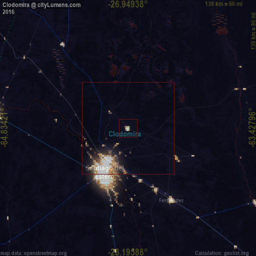
Analysis of Clodomira night lights 2016
Square area 10x10 km:
 0.99%
0.99%90-99
0.6%80-89
0.4%70-79
1.79%60-69
1.79%50-59
0.79%40-49
0%30-39
0.6%20-29
0.2%10-19
0.79%0-9
92.06%Square area 50x50 km:
1.12%90-99
1.06%80-89
0.44%70-79
0.74%60-69
1.13%50-59
0.65%40-49
0.87%30-39
1.19%20-29
1.25%10-19
2.6%0-9
88.95%Clear (daylight) street map image can be seen on geolist.org.
Map coordinates:
26° 56' 57.8" South, 64° 50' 3.2" West
27° 34' 27.8" South, 64° 7' 51.9" West
28° 11' 45.2" South, 63° 25' 40.7" West
Some cities around Clodomira sort by population:
• Santiago del Estero
27.7 km =17.2 mi,  207°
207°
• Alderetes
130.1 km =80.8 mi,  310°
310°
• Termas de Río Hondo
72.4 km =45 mi,  277°
277°
• Bella Vista
130.3 km =81 mi,  297°
297°
• Simoca
125.8 km =78.2 mi,  285°
285°
• Suncho Corral
79.8 km =49.6 mi,  120°
120°
• Beltrán
29.2 km =18.1 mi,  166°
166°
• Graneros
129.1 km =80.2 mi,  266°
266°
3861002 (p: 9,043)
Sources (retrieved 2019-11-25):
» Earth at Night: Flat Maps 2012, 2016