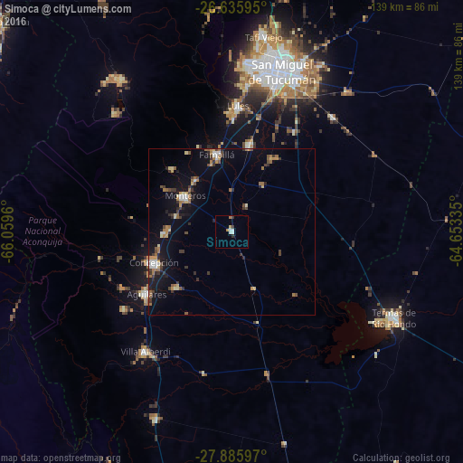
Simoca night lights from space
Night Light of Simoca (Tucuman) from space (Argentina) Src. Average luminocity for 10x10km area is 6.7936% and for 50x50km: 5.6716%.
Analysis of Simoca night lights 2016
Square area 10x10 km:
 1.7%
1.7%90-99
1.33%80-89
0.76%70-79
0.76%60-69
0.76%50-59
0%40-49
0%30-39
1.52%20-29
0.76%10-19
0%0-9
92.42%Square area 50x50 km:
0.51%90-99
0.52%80-89
0.61%70-79
0.65%60-69
1.31%50-59
0.54%40-49
0.68%30-39
1.21%20-29
0.8%10-19
4.35%0-9
88.82%Clear (daylight) street map image can be seen on geolist.org.
Map coordinates:
26° 38' 9.4" South, 66° 3' 34.6" West
27° 15' 45.8" South, 65° 21' 23.3" West
27° 53' 9.5" South, 64° 39' 12.1" West
Some cities around Simoca sort by population:
• San Miguel de Tucumán
50.5 km =31.4 mi,  15°
15°
• Yerba Buena
49.8 km =30.9 mi,  4°
4°
• Alderetes
54.3 km =33.7 mi, 24°
• Aguilares
31.8 km =19.8 mi,  233°
233°
• Famaillá
23.7 km =14.7 mi,  348°
348°
• Monteros
17.6 km =10.9 mi,  307°
307°
• Bella Vista
26 km =16.2 mi,  11°
11°
• Graneros
43.7 km =27.2 mi,  190°
190°
3835238 (p: 7,939)
Sources (retrieved 2019-11-25):
» Earth at Night: Flat Maps 2012, 2016