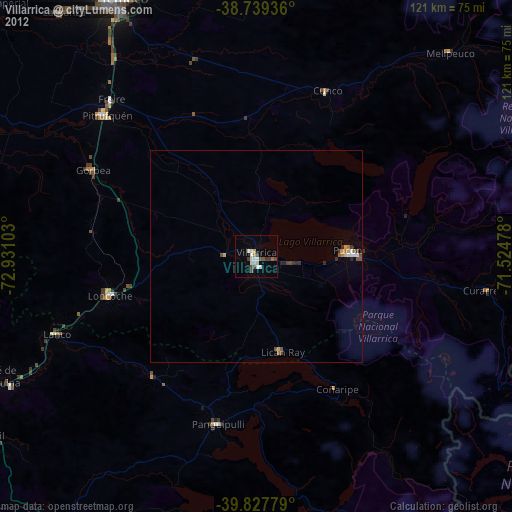
Villarrica night lights from space
Night Light of Villarrica (Araucanía) from space (Chile) Src. Average luminocity for 10x10km area is 14.9864% and for 50x50km: 1.3106%.
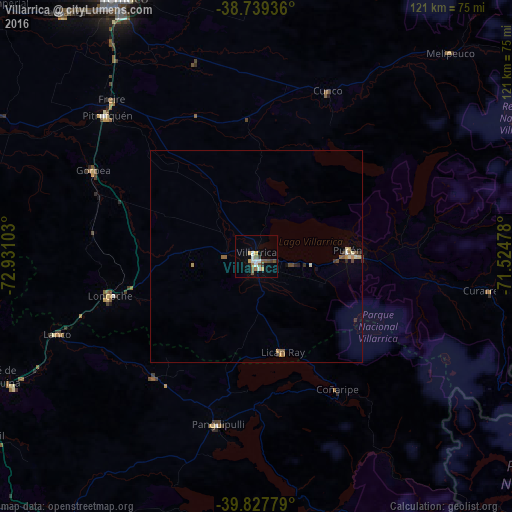
Analysis of Villarrica night lights 2016
Square area 10x10 km:
 2.72%
2.72%90-99
2.04%80-89
1.36%70-79
1.36%60-69
1.36%50-59
4.42%40-49
1.36%30-39
1.7%20-29
0.34%10-19
2.72%0-9
80.61%Square area 50x50 km:
0.12%90-99
0.2%80-89
0.11%70-79
0.19%60-69
0.15%50-59
0.33%40-49
0.17%30-39
0.19%20-29
0.16%10-19
0.15%0-9
98.22%Clear (daylight) street map image can be seen on geolist.org.
Map coordinates:
38° 44' 21.7" South, 72° 55' 51.7" West
39° 17' 8.5" South, 72° 13' 40.4" West
39° 49' 40" South, 71° 31' 29.2" West
Some cities around Villarrica sort by population:
• Temuco
68.6 km =42.6 mi,  332°
332°
• Pucón
23.6 km =14.7 mi,  89°
89°
• Lautaro
85.9 km =53.4 mi,  347°
347°
• Panguipulli
40.8 km =25.4 mi,  192°
192°
• Loncoche
35.8 km =22.2 mi,  255°
255°
• Pitrufquén
48.5 km =30.1 mi,  313°
313°
• Vilcún
68.6 km =42.6 mi,  0°
0°
• Freire
50.5 km =31.4 mi,  317°
317°
3868158 (p: 31,602)
Sources (retrieved 2019-11-25):
» Earth at Night: Flat Maps 2012, 2016