San Cristóbal night lights from space
Night Light of San Cristóbal (Santa Fe) from space (Argentina) Src. Average luminocity for 10x10km area is 14.6905% and for 50x50km: 0.6704%.
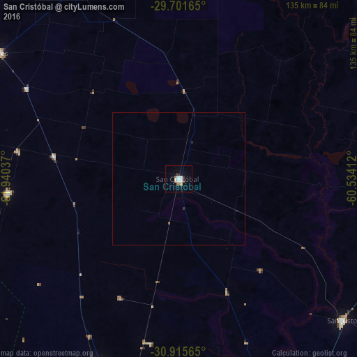
Analysis of San Cristóbal night lights 2016
Square area 10x10 km:
 2.56%
2.56%90-99
4.03%80-89
2.2%70-79
0.73%60-69
1.47%50-59
0.73%40-49
0%30-39
1.47%20-29
1.65%10-19
2.38%0-9
82.78%Square area 50x50 km:
0.1%90-99
0.16%80-89
0.09%70-79
0.03%60-69
0.06%50-59
0.06%40-49
0%30-39
0.09%20-29
0.1%10-19
0.17%0-9
99.14%Clear (daylight) street map image can be seen on geolist.org.
Map coordinates:
29° 42' 5.9" South, 61° 56' 25.3" West
30° 18' 37.9" South, 61° 14' 14.1" West
30° 54' 56.3" South, 60° 32' 2.8" West
Some cities around San Cristóbal sort by population:
• Rafaela
107.2 km =66.6 mi,  192°
192°
• San Justo
81.6 km =50.7 mi,  130°
130°
• Sunchales
77 km =47.8 mi,  203°
203°
• Morteros
85.5 km =53.1 mi,  238°
238°
• Ceres
83.2 km =51.7 mi,  305°
305°
• Laguna Paiva
123.5 km =76.7 mi,  153°
153°
• Calchaquí
102.8 km =63.9 mi,  62°
62°
• Brinkmann
98.4 km =61.1 mi,  231°
231°
3837823 (p: 14,286)
Sources (retrieved 2019-11-25):
» Earth at Night: Flat Maps 2012, 2016