Calchaquí night lights from space
Night Light of Calchaquí (Santa Fe) from space (Argentina) Src. Average luminocity for 10x10km area is 8.002% and for 50x50km: 0.4912%.
Analysis of Calchaquí night lights 2016
Square area 10x10 km:
 1.79%
1.79%90-99
1.39%80-89
0.79%70-79
0.79%60-69
1.79%50-59
0.6%40-49
0.79%30-39
0.2%20-29
0.6%10-19
0%0-9
91.27%Square area 50x50 km:
0.1%90-99
0.05%80-89
0.06%70-79
0.06%60-69
0.13%50-59
0.02%40-49
0.04%30-39
0.11%20-29
0.02%10-19
0%0-9
99.41%Clear (daylight) street map image can be seen on geolist.org.
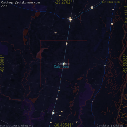
Map coordinates:
29° 16' 34.3" South, 60° 59' 24.4" West
29° 53' 15.6" South, 60° 17' 13.1" West
30° 29' 43.5" South, 59° 35' 1.9" West
Some cities around Calchaquí sort by population:
• Reconquista
102.6 km =63.8 mi,  36°
36°
• Esquina
74.4 km =46.2 mi,  100°
100°
• Avellaneda
105 km =65.2 mi, 35°
• San Justo
104.4 km =64.9 mi,  196°
196°
• Vera
48.2 km =30 mi,  8°
8°
• San Javier
84 km =52.2 mi,  156°
156°
• San Cristóbal
102.8 km =63.9 mi,  242°
242°
• Malabrigo
67.6 km =42 mi,  27°
27°
3863419 (p: 10,221)
Sources (retrieved 2019-11-25):
» Earth at Night: Flat Maps 2012, 2016