Río Segundo night lights from space
Night Light of Río Segundo (Cordoba) from space (Argentina) Src. Average luminocity for 10x10km area is 31.9924% and for 50x50km: 5.9349%.
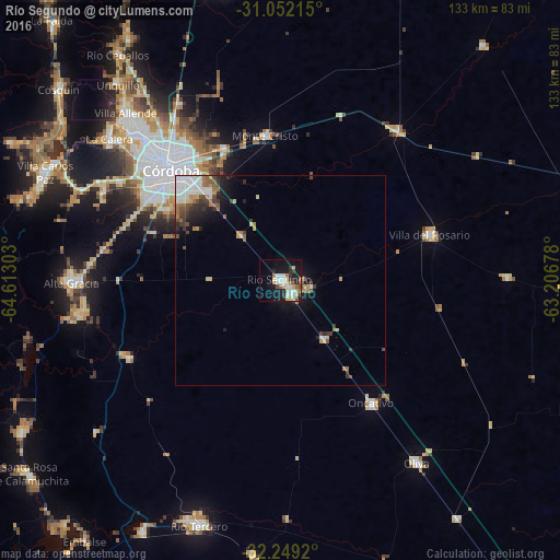
Analysis of Río Segundo night lights 2016
Square area 10x10 km:
 6.67%
6.67%90-99
6.29%80-89
6.86%70-79
2.29%60-69
2.29%50-59
2.67%40-49
2.67%30-39
3.43%20-29
3.62%10-19
28.57%0-9
34.67%Square area 50x50 km:
1.46%90-99
0.78%80-89
0.59%70-79
0.57%60-69
0.77%50-59
0.66%40-49
0.82%30-39
1%20-29
0.96%10-19
3.28%0-9
89.1%Clear (daylight) street map image can be seen on geolist.org.
Map coordinates:
31° 3' 7.7" South, 64° 36' 46.9" West
31° 39' 9.4" South, 63° 54' 35.6" West
32° 14' 57.1" South, 63° 12' 24.4" West
Some cities around Río Segundo sort by population:
• Córdoba
37 km =23 mi,  315°
315°
• Oncativo
36.1 km =22.4 mi,  143°
143°
• Pilar
4.1 km =2.5 mi, 135°
• Malagueño
47.4 km =29.5 mi,  296°
296°
• Malvinas Argentinas
33.1 km =20.6 mi,  335°
335°
• Laguna Larga
17.2 km =10.7 mi, 143°
• Monte Cristo
34.6 km =21.5 mi,  354°
354°
• Despeñaderos
40.3 km =25 mi,  243°
243°
3838797 (p: 18,155)
Sources (retrieved 2019-11-25):
» Earth at Night: Flat Maps 2012, 2016