Córdoba night lights from space
Night Light of Córdoba (Cordoba) from space (Argentina) Src. Average luminocity for 10x10km area is 99.7483% and for 50x50km: 29.0356%.
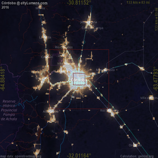
Analysis of Córdoba night lights 2016
Square area 10x10 km:
 88.81%
90-99
10.66%80-89
0.35%70-79
0.17%60-69
0%50-59
0%40-49
0%30-39
0%20-29
0%10-19
0%0-9
0%Square area 50x50 km:
7.83%90-99
4.57%80-89
3.31%70-79
3.23%60-69
4.2%50-59
2.48%40-49
3.48%30-39
3.81%20-29
5.94%10-19
14.09%0-9
47.05%Clear (daylight) street map image can be seen on geolist.org.
Map coordinates:
30° 48' 41.5" South, 64° 53' 3" West
31° 24' 48.6" South, 64° 10' 51.8" West
32° 0' 41.9" South, 63° 28' 40.5" West
Some cities around Córdoba sort by population:
• Villa Carlos Paz
30.1 km =18.7 mi,  267°
267°
• La Calera
16.6 km =10.3 mi,  297°
297°
• Villa Allende
17.1 km =10.6 mi,  320°
320°
• Río Ceballos
30.7 km =19.1 mi,  334°
334°
• Unquillo
24 km =14.9 mi, 327°
• Malagueño
17.8 km =11.1 mi,  251°
251°
• Malvinas Argentinas
12.4 km =7.7 mi,  73°
73°
• Monte Cristo
23.8 km =14.8 mi, 70°
3860259 (p: 1,428,214)
Sources (retrieved 2019-11-25):
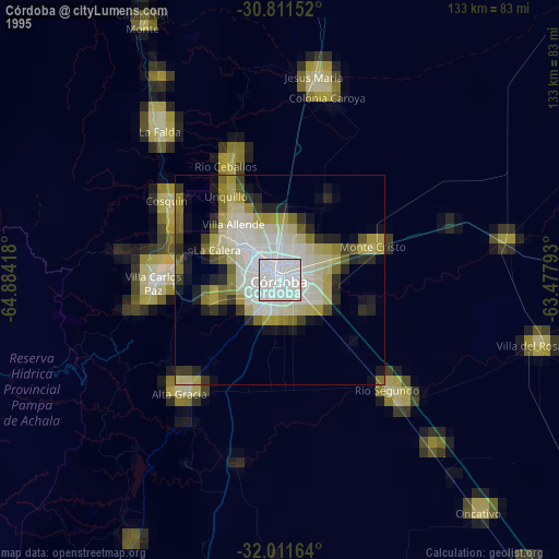
» NASA, Earths city lights 1995
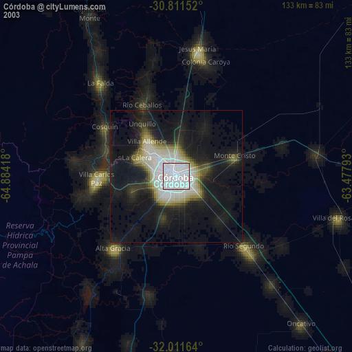
» NASA city lights 2003
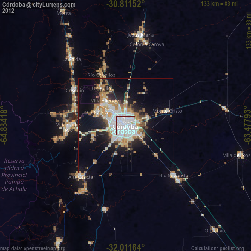
» Earth at Night: Flat Maps 2012, 2016