Oncativo night lights from space
Night Light of Oncativo (Cordoba) from space (Argentina) Src. Average luminocity for 10x10km area is 12.9441% and for 50x50km: 2.0961%.
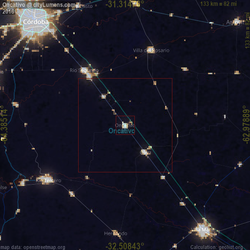
Analysis of Oncativo night lights 2016
Square area 10x10 km:
 1.92%
1.92%90-99
2.8%80-89
1.57%70-79
1.75%60-69
1.75%50-59
1.22%40-49
0.17%30-39
0.17%20-29
1.92%10-19
0.35%0-9
86.36%Square area 50x50 km:
0.22%90-99
0.29%80-89
0.38%70-79
0.22%60-69
0.28%50-59
0.18%40-49
0.13%30-39
0.34%20-29
0.17%10-19
0.75%0-9
97.05%Clear (daylight) street map image can be seen on geolist.org.
Map coordinates:
31° 18' 53.1" South, 64° 23' 6.5" West
31° 54' 48.7" South, 63° 40' 55.2" West
32° 30' 30.3" South, 62° 58' 44" West
Some cities around Oncativo sort by population:
• Río Tercero
49.9 km =31 mi,  234°
234°
• Río Segundo
36.1 km =22.4 mi,  323°
323°
• Pilar
32.1 km =19.9 mi, 324°
• Oliva
17.7 km =11 mi,  143°
143°
• Hernando
57.2 km =35.5 mi,  184°
184°
• Laguna Larga
18.9 km =11.7 mi, 323°
• Despeñaderos
58.4 km =36.3 mi,  280°
280°
• Tancacha
46.2 km =28.7 mi,  217°
217°
3842621 (p: 12,660)
Sources (retrieved 2019-11-25):
» Earth at Night: Flat Maps 2012, 2016