Puerto Deseado night lights from space
Night Light of Puerto Deseado (Santa Cruz) from space (Argentina) Src. Average luminocity for 10x10km area is 9.494% and for 50x50km: 0.3983%.
Analysis of Puerto Deseado night lights 2016
Square area 10x10 km:
 1.34%
1.34%90-99
2.23%80-89
0.15%70-79
0.89%60-69
1.93%50-59
1.04%40-49
1.93%30-39
0.6%20-29
0.6%10-19
0.6%0-9
88.69%Square area 50x50 km:
0.05%90-99
0.09%80-89
0.01%70-79
0.04%60-69
0.08%50-59
0.04%40-49
0.08%30-39
0.05%20-29
0.05%10-19
0.02%0-9
99.51%Clear (daylight) street map image can be seen on geolist.org.
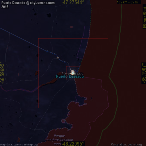
Map coordinates:
47° 16' 31.6" South, 66° 35' 49" West
47° 45' 1.2" South, 65° 53' 37.8" West
48° 13' 15.4" South, 65° 11' 26.5" West
Some cities around Puerto Deseado sort by population:
• Comodoro Rivadavia
242.6 km =150.7 mi,  329°
329°
• Río Gallegos
492.4 km =306 mi,  209°
209°
• Caleta Olivia
191.2 km =118.8 mi,  319°
319°
• Pico Truncado
188.5 km =117.1 mi,  304°
304°
• Las Heras
266.4 km =165.5 mi, 300°
• Sarmiento
341.3 km =212.1 mi,  314°
314°
• Rada Tilly
239.1 km =148.6 mi, 328°
• San Julián
219.4 km =136.3 mi,  217°
217°
3840104 (p: 10,237)
Sources (retrieved 2019-11-25):
» Earth at Night: Flat Maps 2012, 2016