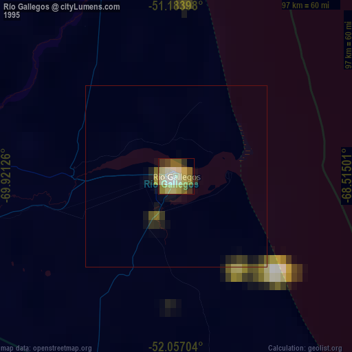
Río Gallegos night lights from space
Night Light of Río Gallegos (Santa Cruz) from space (Argentina) Src. Average luminocity for 10x10km area is 40.2219% and for 50x50km: 2.3644%.
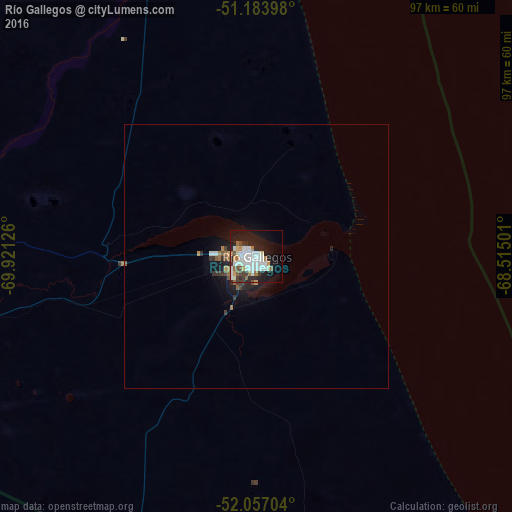
Analysis of Río Gallegos night lights 2016
Square area 10x10 km:
 10.83%
90-99
12.57%80-89
0.94%70-79
2.94%60-69
4.01%50-59
2.94%40-49
2.41%30-39
4.95%20-29
11.23%10-19
24.47%0-9
22.73%Square area 50x50 km:
0.45%90-99
0.54%80-89
0.04%70-79
0.2%60-69
0.29%50-59
0.24%40-49
0.19%30-39
0.42%20-29
0.63%10-19
2.13%0-9
94.86%Clear (daylight) street map image can be seen on geolist.org.
Map coordinates:
51° 11' 2.3" South, 69° 55' 16.5" West
51° 37' 21.4" South, 69° 13' 5.3" West
52° 3' 25.3" South, 68° 30' 54" West
Some cities around Río Gallegos sort by population:
• Punta Arenas, CL
205.5 km =127.7 mi,  213°
213°
• Ushuaia
359.5 km =223.4 mi,  170°
170°
• Puerto Natales, CL
227 km =141.1 mi,  266°
266°
• Puerto Deseado
492.4 km =306 mi,  29°
29°
• El Calafate
257.2 km =159.8 mi,  303°
303°
• Yacimiento Río Turbio
216.4 km =134.5 mi, 271°
• Río Turbio
215.7 km =134 mi, 272°
• San Julián
278.4 km =173 mi,  22°
22°
3838859 (p: 85,700)
Sources (retrieved 2019-11-25):
» NASA, Earths city lights 1995
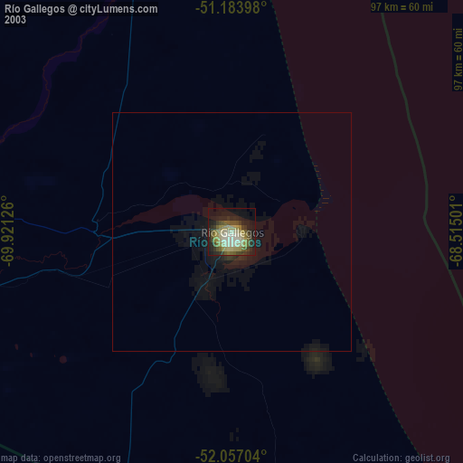
» NASA city lights 2003
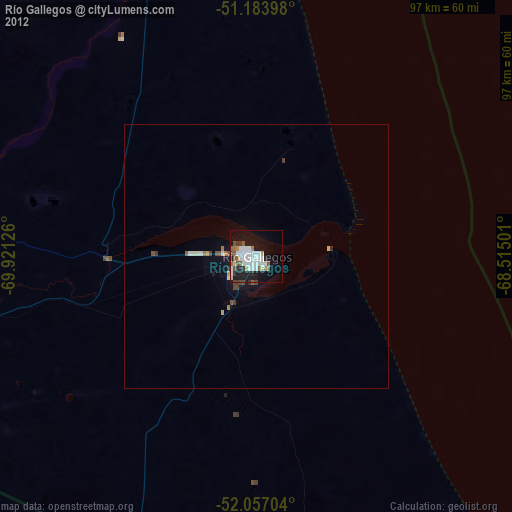
» Earth at Night: Flat Maps 2012, 2016