Perugorría night lights from space
Night Light of Perugorría (Corrientes) from space (Argentina) Src. Average luminocity for 10x10km area is 6.0795% and for 50x50km: 0.2437%.
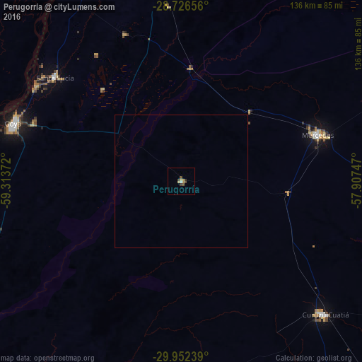
Analysis of Perugorría night lights 2016
Square area 10x10 km:
 0.38%
0.38%90-99
0.38%80-89
1.89%70-79
1.14%60-69
0%50-59
0.95%40-49
2.08%30-39
1.52%20-29
0%10-19
0%0-9
91.67%Square area 50x50 km:
0.01%90-99
0.01%80-89
0.07%70-79
0.04%60-69
0%50-59
0.04%40-49
0.08%30-39
0.06%20-29
0%10-19
0%0-9
99.67%Clear (daylight) street map image can be seen on geolist.org.
Map coordinates:
28° 43' 35.6" South, 59° 18' 49.4" West
29° 20' 28.8" South, 58° 36' 38.1" West
29° 57' 8.6" South, 57° 54' 26.9" West
Some cities around Perugorría sort by population:
• Reconquista
103.1 km =64.1 mi,  281°
281°
• Goya
67.2 km =41.8 mi,  289°
289°
• Curuzú Cuatiá
73.5 km =45.7 mi,  132°
132°
• Mercedes
54.8 km =34.1 mi,  71°
71°
• Esquina
116.1 km =72.1 mi,  229°
229°
• Avellaneda
104.7 km =65.1 mi, 283°
• Santa Lucía
61.9 km =38.5 mi,  309°
309°
• San José de Feliciano
116.8 km =72.6 mi,  186°
186°
3430029 (p: 5,685)
Sources (retrieved 2019-11-25):
» Earth at Night: Flat Maps 2012, 2016