Avellaneda night lights from space
Night Light of Avellaneda (Santa Fe) from space (Argentina) Src. Average luminocity for 10x10km area is 41.8909% and for 50x50km: 3.1731%.
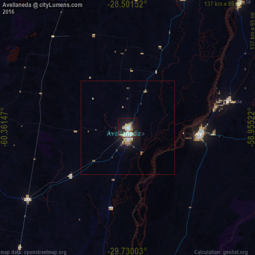
Analysis of Avellaneda night lights 2016
Square area 10x10 km:
 8.53%
8.53%90-99
7.94%80-89
10.52%70-79
3.17%60-69
1.59%50-59
3.17%40-49
5.16%30-39
4.76%20-29
9.52%10-19
32.34%0-9
13.29%Square area 50x50 km:
0.49%90-99
0.39%80-89
0.64%70-79
0.29%60-69
0.26%50-59
0.29%40-49
0.47%30-39
0.37%20-29
0.82%10-19
2.8%0-9
93.16%Clear (daylight) street map image can be seen on geolist.org.
Map coordinates:
28° 30' 5.5" South, 60° 21' 41.3" West
29° 7' 3.4" South, 59° 39' 30" West
29° 43' 48.1" South, 58° 57' 18.8" West
Some cities around Avellaneda sort by population:
• Reconquista
3.7 km =2.3 mi,  167°
167°
• Goya
38.4 km =23.9 mi,  93°
93°
• Esquina
100.5 km =62.4 mi, 172°
• Vera
65.8 km =40.9 mi,  234°
234°
• Villa Ocampo
76 km =47.2 mi,  22°
22°
• Santa Lucía
55.9 km =34.7 mi,  74°
74°
• Las Toscas
93.6 km =58.2 mi, 24°
• Malabrigo
39.5 km =24.5 mi, 229°
3436230 (p: 23,077)
Sources (retrieved 2019-11-25):
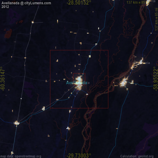
» Earth at Night: Flat Maps 2012, 2016