Santa Lucía night lights from space
Night Light of Santa Lucía (Corrientes) from space (Argentina) Src. Average luminocity for 10x10km area is 20.2143% and for 50x50km: 3.5696%.
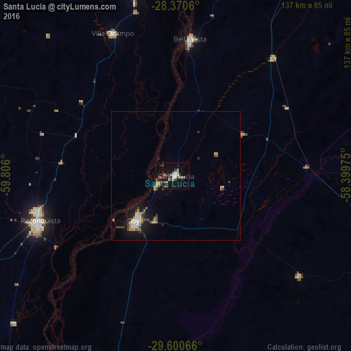
Analysis of Santa Lucía night lights 2016
Square area 10x10 km:
 1.59%
1.59%90-99
2.38%80-89
2.38%70-79
2.18%60-69
3.97%50-59
2.58%40-49
4.37%30-39
3.97%20-29
2.18%10-19
18.65%0-9
55.75%Square area 50x50 km:
0.36%90-99
0.36%80-89
0.47%70-79
0.33%60-69
0.65%50-59
0.39%40-49
0.61%30-39
0.68%20-29
0.57%10-19
3.23%0-9
92.35%Clear (daylight) street map image can be seen on geolist.org.
Map coordinates:
28° 22' 14.2" South, 59° 48' 21.6" West
28° 59' 14.9" South, 59° 6' 10.3" West
29° 36' 2.4" South, 58° 23' 59.1" West
Some cities around Santa Lucía sort by population:
• Reconquista
56.2 km =34.9 mi,  251°
251°
• Goya
23 km =14.3 mi,  222°
222°
• Avellaneda
55.9 km =34.7 mi, 254°
• Villa Ocampo
60.8 km =37.8 mi,  336°
336°
• Saladas
93.9 km =58.3 mi,  29°
29°
• Las Toscas
72.2 km =44.9 mi,  347°
347°
• Malabrigo
93.1 km =57.8 mi,  244°
244°
• Perugorría
61.9 km =38.5 mi,  129°
129°
3428287 (p: 14,056)
Sources (retrieved 2019-11-25):
» Earth at Night: Flat Maps 2012, 2016