Paso de los Libres night lights from space
Night Light of Paso de los Libres (Corrientes) from space (Argentina) Src. Average luminocity for 10x10km area is 42.0556% and for 50x50km: 4.531%.
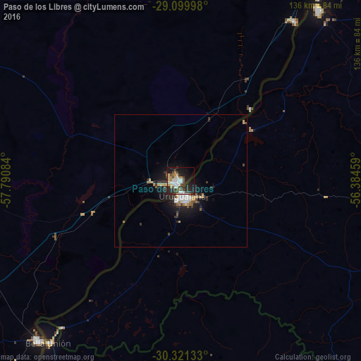
Analysis of Paso de los Libres night lights 2016
Square area 10x10 km:
 7.94%
7.94%90-99
8.73%80-89
5.56%70-79
1.98%60-69
5.95%50-59
2.58%40-49
9.13%30-39
4.76%20-29
18.06%10-19
24.8%0-9
10.52%Square area 50x50 km:
0.68%90-99
0.71%80-89
0.58%70-79
0.35%60-69
0.57%50-59
0.41%40-49
0.55%30-39
0.88%20-29
1.48%10-19
3.78%0-9
90.01%Clear (daylight) street map image can be seen on geolist.org.
Map coordinates:
29° 5' 59.9" South, 57° 47' 27" West
29° 42' 45" South, 57° 5' 15.8" West
30° 19' 16.8" South, 56° 23' 4.5" West
Some cities around Paso de los Libres sort by population:
• Uruguaiana, BR
4.7 km =2.9 mi,  180°
180°
• Curuzú Cuatiá
93.8 km =58.3 mi,  264°
264°
• Itaqui, BR
83.3 km =51.8 mi,  38°
38°
• Monte Caseros
80.1 km =49.8 mi,  221°
221°
• Quaraí, BR
96.9 km =60.2 mi,  140°
140°
• Bella Unión, UY
78.3 km =48.7 mi, 218°
• La Cruz
73.7 km =45.8 mi, 35°
• Alvear
86 km =53.4 mi, 37°
3430104 (p: 43,805)
Sources (retrieved 2019-11-25):
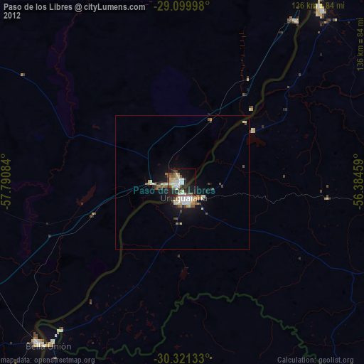
» Earth at Night: Flat Maps 2012, 2016