Alvear night lights from space
Night Light of Alvear (Corrientes) from space (Argentina) Src. Average luminocity for 10x10km area is 19.75% and for 50x50km: 1.8435%.
Analysis of Alvear night lights 2016
Square area 10x10 km:
 3.37%
3.37%90-99
3.77%80-89
4.56%70-79
1.59%60-69
1.59%50-59
0.2%40-49
1.59%30-39
0%20-29
0.79%10-19
24.6%0-9
57.94%Square area 50x50 km:
0.26%90-99
0.22%80-89
0.33%70-79
0.19%60-69
0.21%50-59
0.15%40-49
0.15%30-39
0.15%20-29
0.19%10-19
1.58%0-9
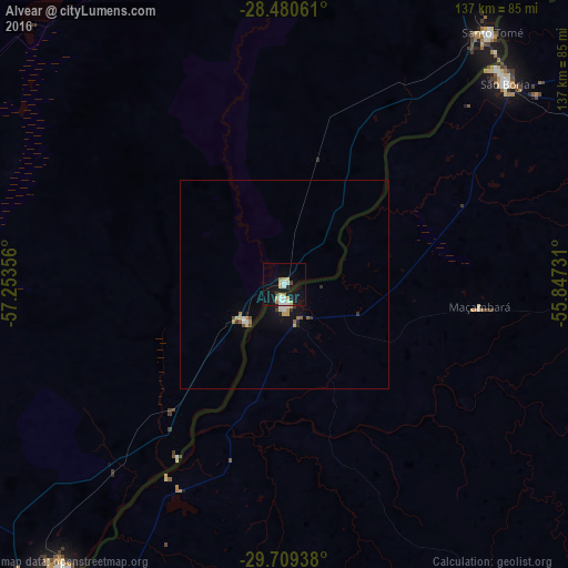
96.57%Clear (daylight) street map image can be seen on geolist.org.
Map coordinates:
28° 28' 50.2" South, 57° 15' 12.8" West
29° 5' 48.6" South, 56° 33' 1.5" West
29° 42' 33.8" South, 55° 50' 50.3" West
Some cities around Alvear sort by population:
• Uruguaiana, BR
89.8 km =55.8 mi,  215°
215°
• Alegrete, BR
105.9 km =65.8 mi,  136°
136°
• São Borja, BR
72 km =44.7 mi,  47°
47°
• Paso de los Libres
86 km =53.4 mi, 217°
• Itaqui, BR
3.2 km =2 mi,  184°
184°
• Gobernador Virasora
126.9 km =78.9 mi,  23°
23°
• Santo Tomé
78.5 km =48.8 mi,  39°
39°
• La Cruz
12.5 km =7.8 mi,  226°
226°
3436370 (p: 7,917)
Sources (retrieved 2019-11-25):
» Earth at Night: Flat Maps 2012, 2016