Itaqui night lights from space
Night Light of Itaqui (Rio Grande do Sul) from space (Brazil) Src. Average luminocity for 10x10km area is 28.7659% and for 50x50km: 1.8436%.
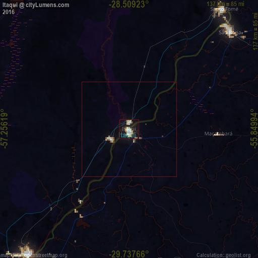
Analysis of Itaqui night lights 2016
Square area 10x10 km:
 5.56%
5.56%90-99
4.76%80-89
6.15%70-79
3.97%60-69
1.98%50-59
0.6%40-49
1.59%30-39
1.98%20-29
2.58%10-19
37.7%0-9
33.13%Square area 50x50 km:
0.26%90-99
0.22%80-89
0.33%70-79
0.19%60-69
0.21%50-59
0.15%40-49
0.15%30-39
0.15%20-29
0.19%10-19
1.58%0-9
96.57%Clear (daylight) street map image can be seen on geolist.org.
Map coordinates:
28° 30' 33.2" South, 57° 15' 22.3" West
29° 7' 31" South, 56° 33' 11" West
29° 44' 15.6" South, 55° 50' 59.8" West
Some cities around Itaqui sort by population:
• Uruguaiana
87.1 km =54.1 mi,  216°
216°
• Alegrete
103.8 km =64.5 mi,  134°
134°
• São Borja
74.3 km =46.2 mi,  45°
45°
• Paso de los Libres, AR
83.3 km =51.8 mi, 218°
• Gobernador Virasora, AR
129.9 km =80.7 mi,  22°
22°
• Santo Tomé, AR
81.2 km =50.5 mi,  37°
37°
• La Cruz, AR
10.3 km =6.4 mi,  238°
238°
• Alvear, AR
3.2 km =2 mi,  4°
4°
3460629 (p: 34,631)
Sources (retrieved 2019-11-25):
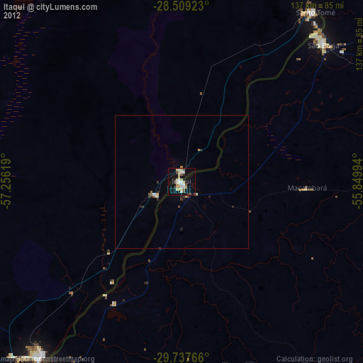
» Earth at Night: Flat Maps 2012, 2016