Marcos Juárez night lights from space
Night Light of Marcos Juárez (Cordoba) from space (Argentina) Src. Average luminocity for 10x10km area is 24.3584% and for 50x50km: 2.1081%.
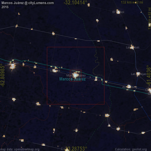
Analysis of Marcos Juárez night lights 2016
Square area 10x10 km:
 3.67%
3.67%90-99
4.55%80-89
2.8%70-79
3.67%60-69
5.24%50-59
0.52%40-49
1.22%30-39
3.5%20-29
0%10-19
23.43%0-9
51.4%Square area 50x50 km:
0.2%90-99
0.33%80-89
0.43%70-79
0.25%60-69
0.37%50-59
0.11%40-49
0.1%30-39
0.26%20-29
0.06%10-19
1.07%0-9
96.82%Clear (daylight) street map image can be seen on geolist.org.
Map coordinates:
32° 6' 14.9" South, 62° 48' 35.5" West
32° 41' 52.1" South, 62° 6' 24.2" West
33° 17' 15.1" South, 61° 24' 13" West
Some cities around Marcos Juárez sort by population:
• Bell Ville
55.1 km =34.2 mi,  278°
278°
• Las Rosas
55.1 km =34.2 mi,  63°
63°
• Las Parejas
55.3 km =34.4 mi,  88°
88°
• Armstrong
48.1 km =29.9 mi,  101°
101°
• Leones
18.2 km =11.3 mi, 282°
• Justiniano Posse
57.3 km =35.6 mi,  248°
248°
• Cruz Alta
44.5 km =27.7 mi,  141°
141°
• Monte Buey
40.8 km =25.4 mi,  233°
233°
3844899 (p: 24,226)
Sources (retrieved 2019-11-25):
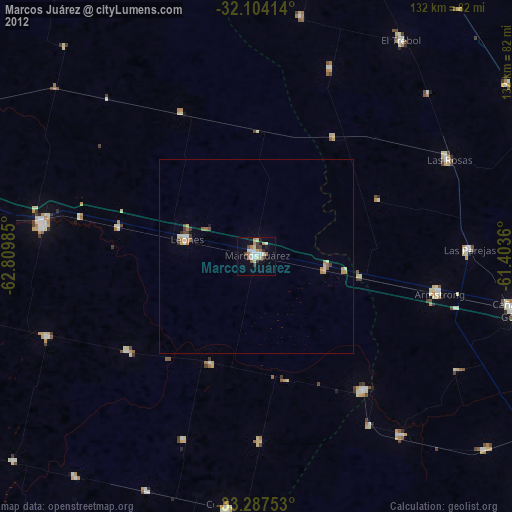
» Earth at Night: Flat Maps 2012, 2016