Cruz Alta night lights from space
Night Light of Cruz Alta (Cordoba) from space (Argentina) Src. Average luminocity for 10x10km area is 9.685% and for 50x50km: 1.4008%.
Analysis of Cruz Alta night lights 2016
Square area 10x10 km:
 1.28%
1.28%90-99
1.65%80-89
1.65%70-79
1.65%60-69
0.92%50-59
2.38%40-49
0%30-39
0%20-29
0%10-19
0%0-9
90.48%Square area 50x50 km:
0.18%90-99
0.18%80-89
0.2%70-79
0.3%60-69
0.18%50-59
0.16%40-49
0.1%30-39
0.15%20-29
0.1%10-19
0.1%0-9
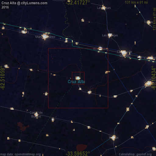
98.36%Clear (daylight) street map image can be seen on geolist.org.
Map coordinates:
32° 25' 2.2" South, 62° 30' 38.1" West
33° 0' 31.9" South, 61° 48' 26.9" West
33° 35' 47.5" South, 61° 6' 15.6" West
Some cities around Cruz Alta sort by population:
• Cañada de Gómez
44.1 km =27.4 mi,  60°
60°
• Casilda
59.7 km =37.1 mi,  93°
93°
• Marcos Juárez
44.5 km =27.7 mi,  321°
321°
• Firmat
58.5 km =36.4 mi,  148°
148°
• Las Parejas
45.1 km =28 mi,  37°
37°
• Armstrong
31.7 km =19.7 mi, 37°
• Corral de Bustos
46.4 km =28.8 mi,  229°
229°
• Chañar Ladeado
41.2 km =25.6 mi,  211°
211°
3859839 (p: 6,862)
Sources (retrieved 2019-11-25):
» Earth at Night: Flat Maps 2012, 2016