San Fernando del Valle de Catamarca night lights from space
Night Light of San Fernando del Valle de Catamarca (Catamarca) from space (Argentina) Src. Average luminocity for 10x10km area is 73.7758% and for 50x50km: 7.5056%.
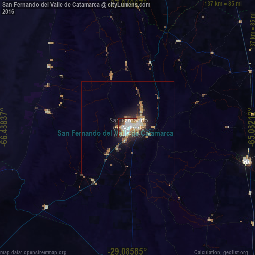
Analysis of San Fernando del Valle de Catamarca night lights 2016
Square area 10x10 km:
 24.8%
24.8%90-99
20.63%80-89
5.56%70-79
7.74%60-69
11.51%50-59
6.75%40-49
6.94%30-39
4.96%20-29
10.32%10-19
0.79%0-9
0%Square area 50x50 km:
1.17%90-99
1.16%80-89
0.86%70-79
1.06%60-69
1.21%50-59
0.67%40-49
0.94%30-39
1.14%20-29
2.31%10-19
4.48%0-9
85.01%Clear (daylight) street map image can be seen on geolist.org.
Map coordinates:
27° 50' 58.8" South, 66° 29' 18.1" West
28° 28' 10.5" South, 65° 47' 6.9" West
29° 5' 9.1" South, 65° 4' 55.6" West
Some cities around San Fernando del Valle de Catamarca sort by population:
• Andalgalá
111.6 km =69.3 mi,  332°
332°
• Arauco
99.2 km =61.6 mi,  262°
262°
• Huillapima
34.1 km =21.2 mi,  213°
213°
• La Cocha
80.3 km =49.9 mi,  14°
14°
• Icaño
67 km =41.6 mi,  138°
138°
• Los Altos
54.6 km =33.9 mi,  30°
30°
• Capayán
42.5 km =26.4 mi,  217°
217°
• Graneros
97.3 km =60.5 mi,  20°
20°
3837702 (p: 188,812)
Sources (retrieved 2019-11-25):
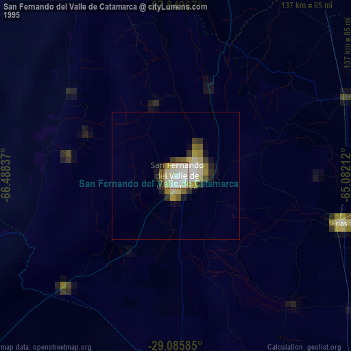
» NASA, Earths city lights 1995
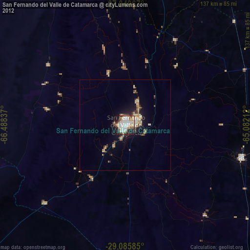
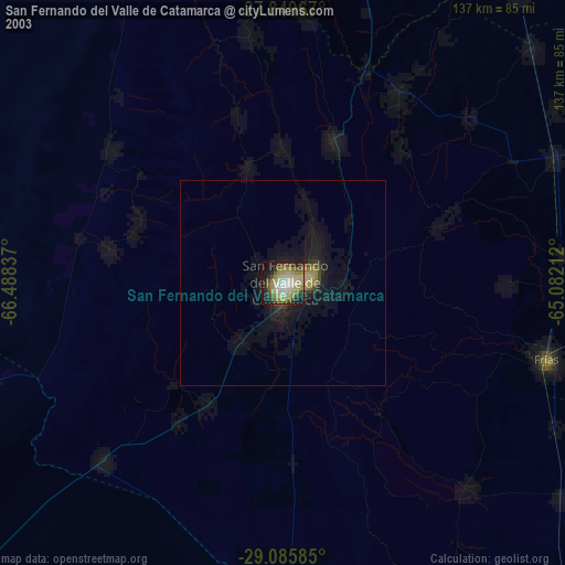
» NASA city lights 2003
» Earth at Night: Flat Maps 2012, 2016