Aguilares night lights from space
Night Light of Aguilares (Tucuman) from space (Argentina) Src. Average luminocity for 10x10km area is 23.8182% and for 50x50km: 5.2117%.
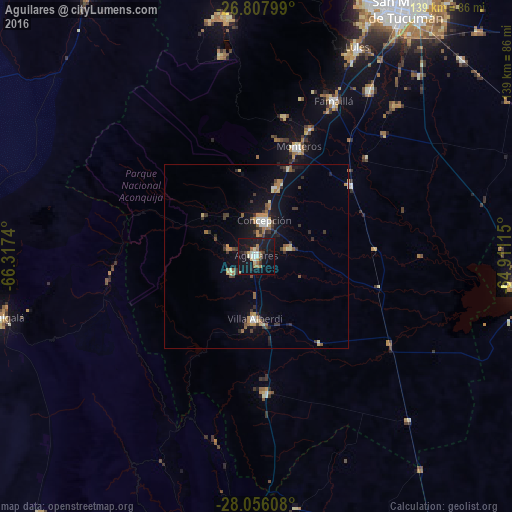
Analysis of Aguilares night lights 2016
Square area 10x10 km:
 1.7%
1.7%90-99
4.55%80-89
2.84%70-79
0.76%60-69
6.82%50-59
0.76%40-49
0.57%30-39
2.46%20-29
3.6%10-19
47.16%0-9
28.79%Square area 50x50 km:
0.37%90-99
0.56%80-89
0.57%70-79
0.65%60-69
1.05%50-59
0.43%40-49
0.49%30-39
1.31%20-29
0.87%10-19
4.66%0-9
89.02%Clear (daylight) street map image can be seen on geolist.org.
Map coordinates:
26° 48' 28.8" South, 66° 19' 2.6" West
27° 26' 1.7" South, 65° 36' 51.4" West
28° 3' 21.9" South, 64° 54' 40.1" West
Some cities around Aguilares sort by population:
• Famaillá
47.1 km =29.3 mi,  26°
26°
• Monteros
31.8 km =19.8 mi,  21°
21°
• Bella Vista
54.1 km =33.6 mi, 34°
• Andalgalá
71.2 km =44.2 mi,  256°
256°
• Simoca
31.8 km =19.8 mi,  53°
53°
• La Cocha
37.4 km =23.2 mi,  175°
175°
• Los Altos
69.3 km =43.1 mi,  170°
170°
• Graneros
29.6 km =18.4 mi,  144°
144°
3866496 (p: 32,494)
Sources (retrieved 2019-11-25):
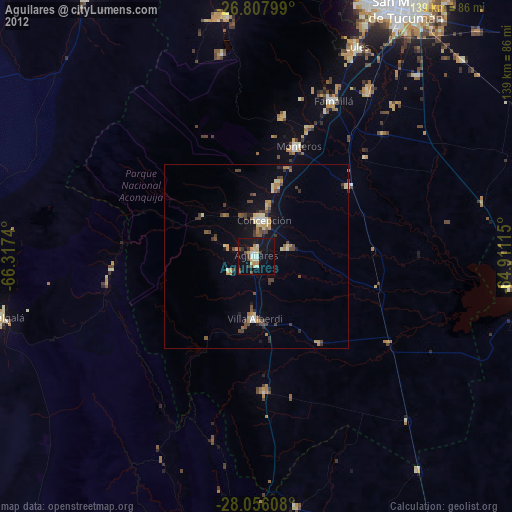
» Earth at Night: Flat Maps 2012, 2016