Andalgalá night lights from space
Night Light of Andalgalá (Catamarca) from space (Argentina) Src. Average luminocity for 10x10km area is 26.3353% and for 50x50km: 1.2744%.
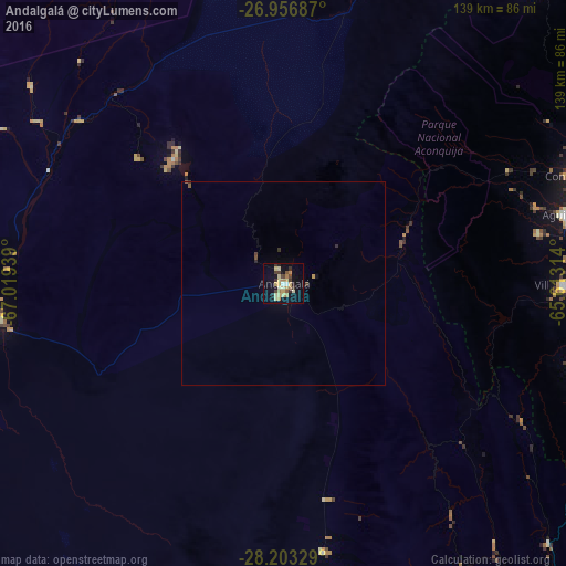
Analysis of Andalgalá night lights 2016
Square area 10x10 km:
 0.99%
0.99%90-99
1.98%80-89
8.73%70-79
4.56%60-69
4.37%50-59
1.59%40-49
3.97%30-39
3.77%20-29
2.98%10-19
22.02%0-9
45.04%Square area 50x50 km:
0.04%90-99
0.08%80-89
0.34%70-79
0.21%60-69
0.17%50-59
0.11%40-49
0.23%30-39
0.23%20-29
0.15%10-19
0.9%0-9
97.56%Clear (daylight) street map image can be seen on geolist.org.
Map coordinates:
26° 57' 24.7" South, 67° 1' 9.8" West
27° 34' 54.7" South, 66° 18' 58.5" West
28° 12' 11.8" South, 65° 36' 47.3" West
Some cities around Andalgalá sort by population:
• San Fernando del Valle de Catamarca
111.6 km =69.3 mi,  152°
152°
• Aguilares
71.2 km =44.2 mi,  76°
76°
• Famaillá
107.6 km =66.9 mi,  56°
56°
• Monteros
93 km =57.8 mi, 60°
• Simoca
101.2 km =62.9 mi,  69°
69°
• La Cocha
74.8 km =46.5 mi,  106°
106°
• Los Altos
95.6 km =59.4 mi,  122°
122°
• Graneros
86.8 km =53.9 mi,  94°
94°
3865802 (p: 14,068)
Sources (retrieved 2019-11-25):
» Earth at Night: Flat Maps 2012, 2016