Colonia del Sacramento night lights from space
Night Light of Colonia del Sacramento (Colonia) from space (Uruguay) Src. Average luminocity for 10x10km area is 18.0682% and for 50x50km: 1.0475%.
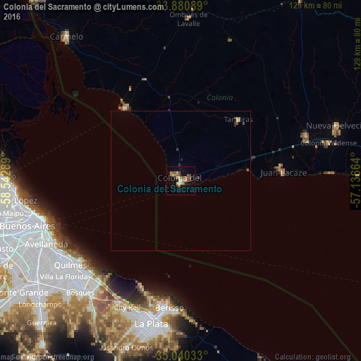
Analysis of Colonia del Sacramento night lights 2016
Square area 10x10 km:
 0.17%
0.17%90-99
1.22%80-89
4.2%70-79
0.87%60-69
5.59%50-59
5.42%40-49
2.8%30-39
2.1%20-29
0.7%10-19
5.24%0-9
71.68%Square area 50x50 km:
0.01%90-99
0.05%80-89
0.2%70-79
0.07%60-69
0.29%50-59
0.27%40-49
0.19%30-39
0.23%20-29
0.1%10-19
0.22%0-9
98.37%Clear (daylight) street map image can be seen on geolist.org.
Map coordinates:
33° 52' 51.2" South, 58° 32' 34.4" West
34° 27' 45.4" South, 57° 50' 23.1" West
35° 2' 25.2" South, 57° 8' 11.9" West
Some cities around Colonia del Sacramento sort by population:
• Buenos Aires, AR
52 km =32.3 mi,  251°
251°
• La Plata, AR
52.1 km =32.4 mi,  191°
191°
• Quilmes, AR
48.8 km =30.3 mi,  232°
232°
• Berazategui, AR
47.9 km =29.8 mi, 225°
• Retiro, AR
51.6 km =32.1 mi, 254°
• Juan L. Lacaze
35.8 km =22.2 mi,  82°
82°
• Rosario
47.8 km =29.7 mi,  70°
70°
• Tarariras
29.9 km =18.6 mi,  42°
42°
3443013 (p: 21,714)
Sources (retrieved 2019-11-25):
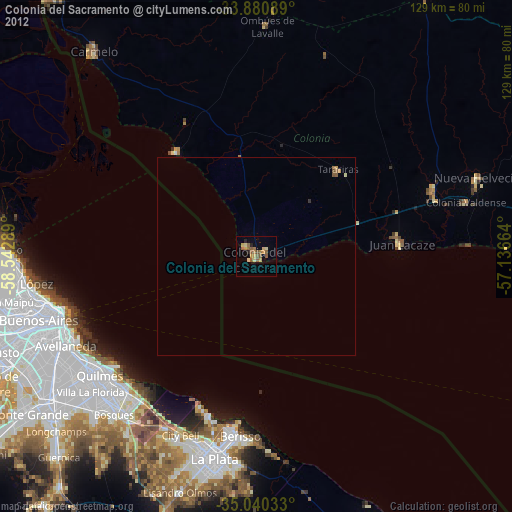
» Earth at Night: Flat Maps 2012, 2016