Barracas night lights from space
Night Light of Barracas (Buenos Aires F.D.) from space (Argentina) Src. Average luminocity for 10x10km area is 97.1084% and for 50x50km: 63.1517%.
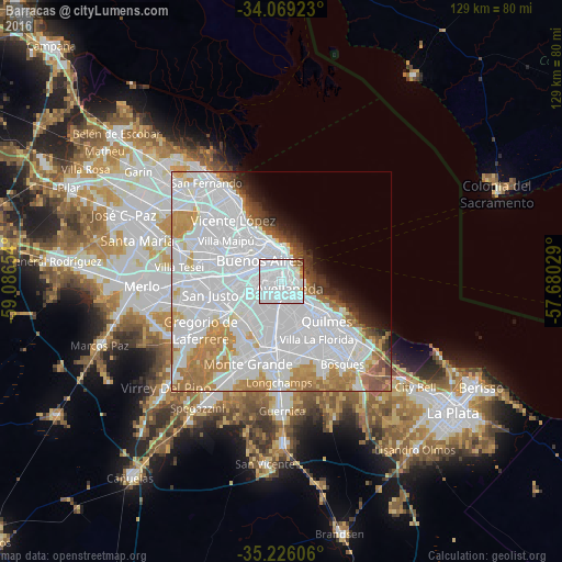
Analysis of Barracas night lights 2016
Square area 10x10 km:
 79.55%
90-99
12.94%80-89
0.7%70-79
1.4%60-69
2.97%50-59
1.22%40-49
1.22%30-39
0%20-29
0%10-19
0%0-9
0%Square area 50x50 km:
36.85%90-99
11.87%80-89
2.83%70-79
5.51%60-69
6.33%50-59
2.74%40-49
1.89%30-39
1.85%20-29
1.99%10-19
3.02%0-9
25.11%Clear (daylight) street map image can be seen on geolist.org.
Map coordinates:
34° 4' 9.2" South, 59° 5' 11.5" West
34° 38' 58.8" South, 58° 23' 0.3" West
35° 13' 33.8" South, 57° 40' 49" West
Some cities around Barracas sort by population:
• Buenos Aires
4.1 km =2.5 mi,  7°
7°
• Balvanera
4.6 km =2.9 mi,  343°
343°
• Villa Lugano
8.8 km =5.5 mi,  248°
248°
• Colegiales
10.4 km =6.5 mi,  324°
324°
• Boedo
3.5 km =2.2 mi,  300°
300°
• Retiro
7.4 km =4.6 mi,  0°
0°
• Villa Santa Rita
9.9 km =6.2 mi, 295°
• Villa Ortúzar
11 km =6.8 mi, 315°
3436134 (p: 77,474)
Sources (retrieved 2019-11-25):
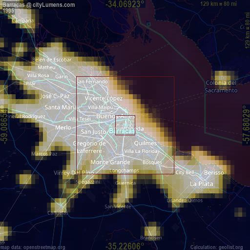
» NASA, Earths city lights 1995
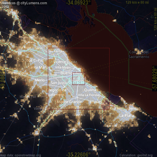
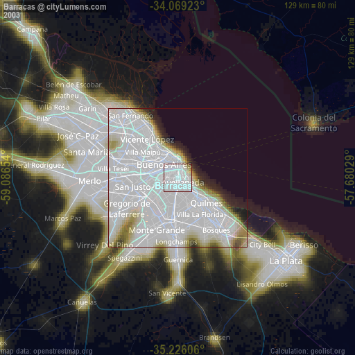
» NASA city lights 2003
» Earth at Night: Flat Maps 2012, 2016