Boedo night lights from space
Night Light of Boedo (Buenos Aires F.D.) from space (Argentina) Src. Average luminocity for 10x10km area is 99.8374% and for 50x50km: 65.6157%.
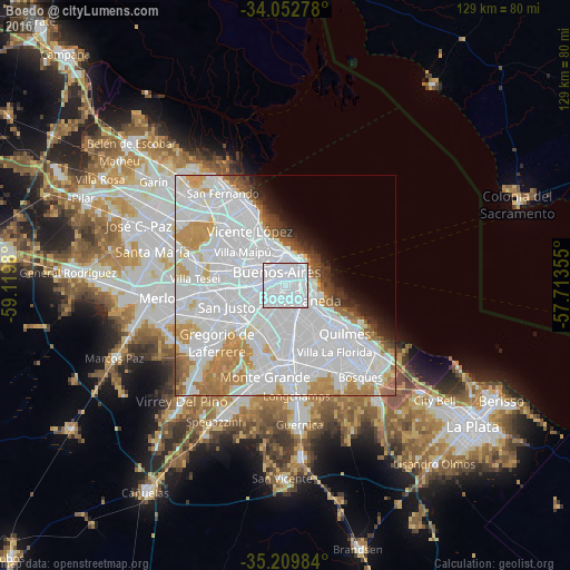
Analysis of Boedo night lights 2016
Square area 10x10 km:
 89.69%
90-99
10.31%80-89
0%70-79
0%60-69
0%50-59
0%40-49
0%30-39
0%20-29
0%10-19
0%0-9
0%Square area 50x50 km:
38.61%90-99
13.11%80-89
3.11%70-79
5.67%60-69
5.41%50-59
2.41%40-49
1.86%30-39
1.77%20-29
1.91%10-19
2.93%0-9
23.21%Clear (daylight) street map image can be seen on geolist.org.
Map coordinates:
34° 3' 10" South, 59° 7' 11.3" West
34° 37' 60" South, 58° 25' 0" West
35° 12' 35.4" South, 57° 42' 48.8" West
Some cities around Boedo sort by population:
• Buenos Aires
4.2 km =2.6 mi,  58°
58°
• Balvanera
3.1 km =1.9 mi,  34°
34°
• Villa Lugano
7.2 km =4.5 mi,  225°
225°
• Barracas
3.5 km =2.2 mi,  120°
120°
• Colegiales
7.3 km =4.5 mi,  335°
335°
• Retiro
6.3 km =3.9 mi, 28°
• Villa Santa Rita
6.4 km =4 mi,  293°
293°
• Villa Ortúzar
7.6 km =4.7 mi,  321°
321°
3436003 (p: 48,231)
Sources (retrieved 2019-11-25):
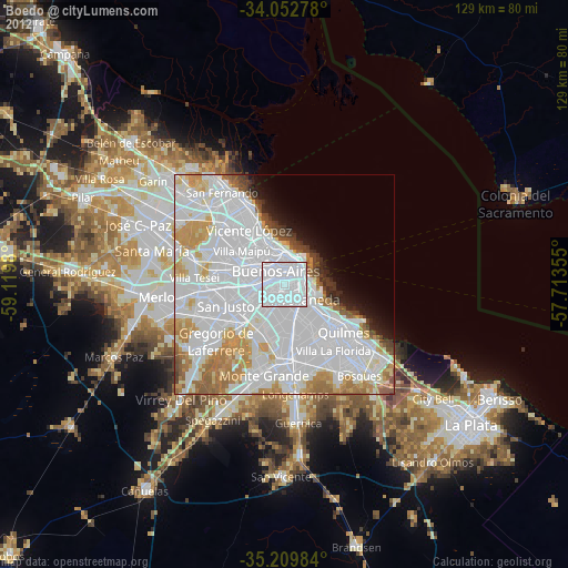
» Earth at Night: Flat Maps 2012, 2016