Buenos Aires night lights from space
Night Light of Buenos Aires (Buenos Aires F.D.) from space (Argentina) Src. Average luminocity for 10x10km area is 85.9965% and for 50x50km: 57.0849%.
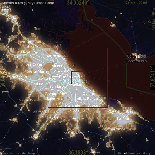
Analysis of Buenos Aires night lights 2016
Square area 10x10 km:
 60.49%
90-99
12.06%80-89
1.57%70-79
1.05%60-69
4.55%50-59
6.29%40-49
6.99%30-39
4.37%20-29
1.4%10-19
1.22%0-9
0%Square area 50x50 km:
35.42%90-99
10.54%80-89
2.28%70-79
4.08%60-69
3.41%50-59
2.29%40-49
2.08%30-39
2.08%20-29
2.21%10-19
3.49%0-9
32.14%Clear (daylight) street map image can be seen on geolist.org.
Map coordinates:
34° 1' 56.9" South, 59° 4' 49.3" West
34° 36' 47.3" South, 58° 22' 38" West
35° 11' 23.3" South, 57° 40' 26.8" West
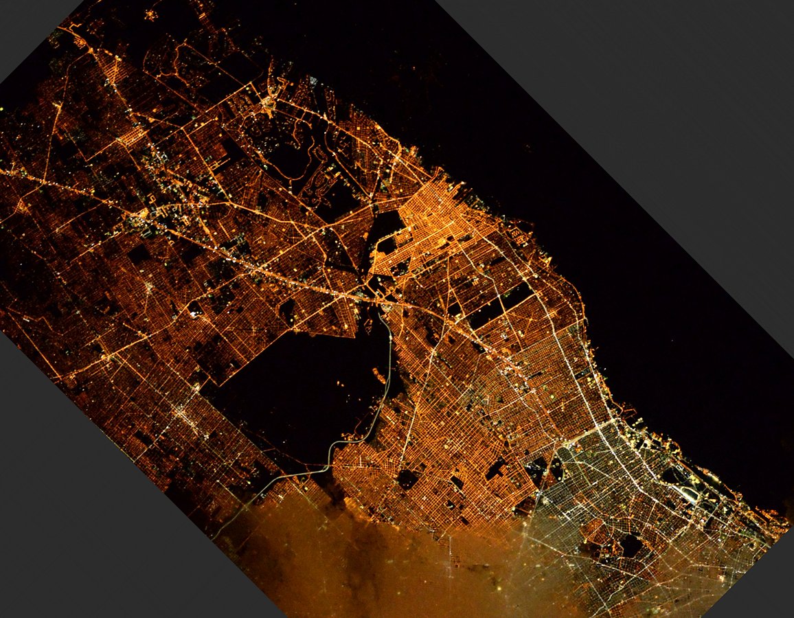
Fantastic image of Buenos Aires from space taken by astronauts [src2], but I don't have information about it's orientation, scale or angle. If necessary, it was rotated manually, so North points approximately to upper direction. Click to zoom in:
Some cities around Buenos Aires sort by population:
• Balvanera
1.9 km =1.2 mi,  279°
279°
• Belgrano
9.3 km =5.8 mi,  307°
307°
• Barracas
4.1 km =2.5 mi,  187°
187°
• Colegiales
7.9 km =4.9 mi,  303°
303°
• Boedo
4.2 km =2.6 mi,  238°
238°
• Retiro
3.4 km =2.1 mi,  350°
350°
• Villa Santa Rita
9.5 km =5.9 mi,  271°
271°
• Villa Ortúzar
9.1 km =5.7 mi,  294°
294°
3435910 (p: 13,076,300)
Sources (retrieved 2019-11-25):
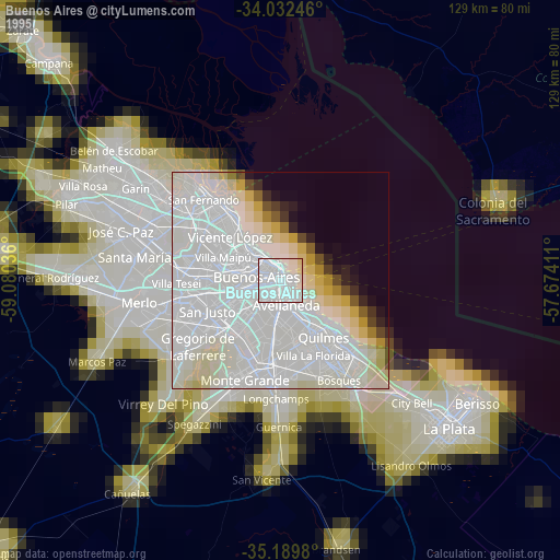
» NASA, Earths city lights 1995
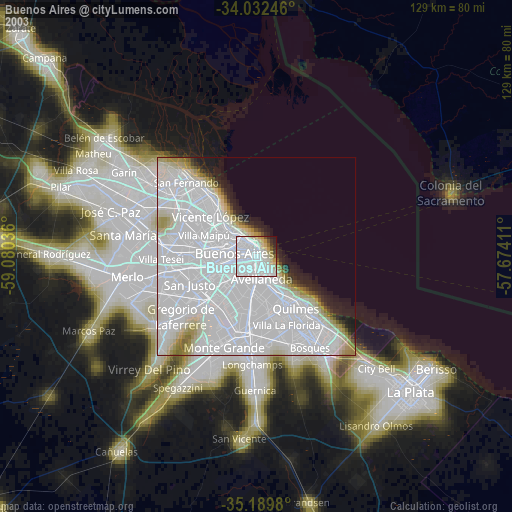
» NASA city lights 2003
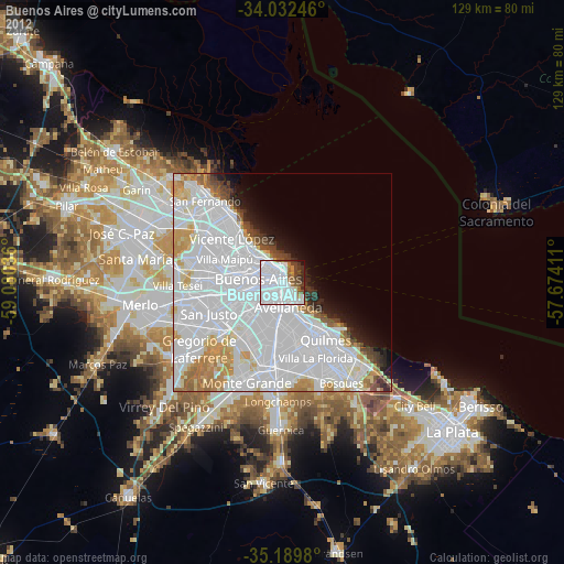
» Earth at Night: Flat Maps 2012, 2016
Src.2: Tim Kopra, Twitter/@astro_tim, 2016-04-29