Bovril night lights from space
Night Light of Bovril (Entre Rios) from space (Argentina) Src. Average luminocity for 10x10km area is 4.0472% and for 50x50km: 0.4082%.
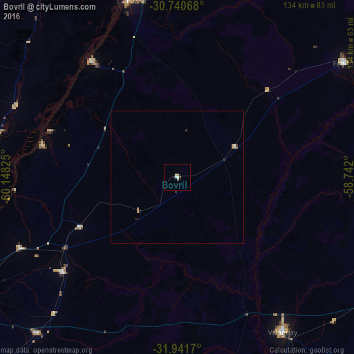
Analysis of Bovril night lights 2016
Square area 10x10 km:
 0%
0%90-99
1.4%80-89
1.4%70-79
0.7%60-69
0%50-59
0%40-49
0.7%30-39
0%20-29
0.17%10-19
0.52%0-9
95.1%Square area 50x50 km:
0%90-99
0.12%80-89
0.09%70-79
0.04%60-69
0.1%50-59
0%40-49
0.03%30-39
0.09%20-29
0.04%10-19
0.1%0-9
99.38%Clear (daylight) street map image can be seen on geolist.org.
Map coordinates:
30° 44' 26.4" South, 60° 8' 53.7" West
31° 20' 35.2" South, 59° 26' 42.4" West
31° 56' 30.1" South, 58° 44' 31.2" West
Some cities around Bovril sort by population:
• Villaguay
70.3 km =43.7 mi,  145°
145°
• La Paz
69.5 km =43.2 mi,  344°
344°
• Santa Elena
55.1 km =34.2 mi,  323°
323°
• Federal
76.4 km =47.5 mi,  55°
55°
• Viale
79 km =49.1 mi,  222°
222°
• Villa María Grande
56.2 km =34.9 mi,  230°
230°
• Maciá
92.3 km =57.4 mi,  177°
177°
• Villa Hernandarias
52.8 km =32.8 mi,  283°
283°
3435966 (p: 7,977)
Sources (retrieved 2019-11-25):
» Earth at Night: Flat Maps 2012, 2016