Zapala night lights from space
Night Light of Zapala (Neuquen) from space (Argentina) Src. Average luminocity for 10x10km area is 25.784% and for 50x50km: 1.2606%.
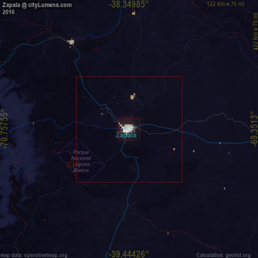
Analysis of Zapala night lights 2016
Square area 10x10 km:
 6.12%
6.12%90-99
6.29%80-89
3.23%70-79
0.68%60-69
1.87%50-59
1.36%40-49
2.21%30-39
0.51%20-29
3.4%10-19
30.44%0-9
43.88%Square area 50x50 km:
0.24%90-99
0.25%80-89
0.17%70-79
0.05%60-69
0.16%50-59
0.05%40-49
0.09%30-39
0.05%20-29
0.15%10-19
1.19%0-9
97.59%Clear (daylight) street map image can be seen on geolist.org.
Map coordinates:
38° 20' 59.5" South, 70° 45' 27.2" West
38° 53' 57" South, 70° 3' 15.9" West
39° 26' 39.3" South, 69° 21' 4.7" West
Some cities around Zapala sort by population:
• Cutral-Có
71.4 km =44.4 mi,  93°
93°
• Centenario
166.6 km =103.5 mi, 87°
• Pucón, CL
169.4 km =105.3 mi,  255°
255°
• Plottier
157.7 km =98 mi, 92°
• Plaza Huincul
73.2 km =45.5 mi, 92°
• Chos Malal
170.2 km =105.8 mi,  353°
353°
• Junín de los Andes
145.8 km =90.6 mi,  216°
216°
• Senillosa
140.8 km =87.5 mi,  95°
95°
3832132 (p: 31,534)
Sources (retrieved 2019-11-25):
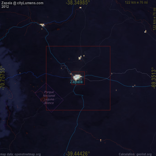
» Earth at Night: Flat Maps 2012, 2016