San Antonio Oeste night lights from space
Night Light of San Antonio Oeste (Rio Negro) from space (Argentina) Src. Average luminocity for 10x10km area is 14.6396% and for 50x50km: 1.071%.
Analysis of San Antonio Oeste night lights 2016
Square area 10x10 km:
 2.44%
2.44%90-99
2.11%80-89
1.79%70-79
2.11%60-69
1.46%50-59
3.08%40-49
0.65%30-39
0.49%20-29
1.46%10-19
0.97%0-9
83.44%Square area 50x50 km:
0.13%90-99
0.13%80-89
0.12%70-79
0.14%60-69
0.2%50-59
0.24%40-49
0.03%30-39
0.04%20-29
0.15%10-19
0.05%0-9
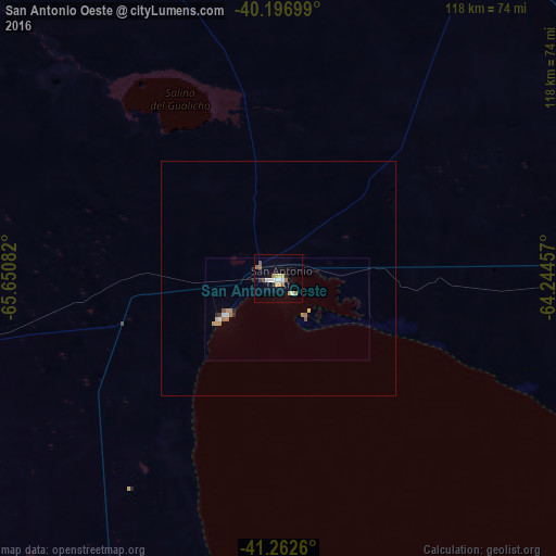
98.76%Clear (daylight) street map image can be seen on geolist.org.
Map coordinates:
40° 11' 49.2" South, 65° 39' 3" West
40° 43' 54.9" South, 64° 56' 51.7" West
41° 15' 45.4" South, 64° 14' 40.5" West
Some cities around San Antonio Oeste sort by population:
• Puerto Madryn
226.6 km =140.8 mi,  181°
181°
• Viedma
164.5 km =102.2 mi,  93°
93°
• Villa Regina
256.1 km =159.1 mi,  315°
315°
• Choele Choel
171.5 km =106.6 mi,  339°
339°
• Lamarque
159.1 km =98.9 mi, 336°
• Sierra Grande
103 km =64 mi,  199°
199°
• Fray Luis Beltrán
172.2 km =107 mi, 336°
• General Conesa
81.3 km =50.5 mi,  30°
30°
3837980 (p: 16,966)
Sources (retrieved 2019-11-25):
» Earth at Night: Flat Maps 2012, 2016