Fray Luis Beltrán night lights from space
Night Light of Fray Luis Beltrán (Rio Negro) from space (Argentina) Src. Average luminocity for 10x10km area is 7.4184% and for 50x50km: 1.1763%.
Analysis of Fray Luis Beltrán night lights 2016
Square area 10x10 km:
 1.7%
1.7%90-99
1.02%80-89
0.68%70-79
0.68%60-69
0.17%50-59
0.51%40-49
0.68%30-39
1.7%20-29
1.7%10-19
0%0-9
91.16%Square area 50x50 km:
0.17%90-99
0.17%80-89
0.23%70-79
0.13%60-69
0.14%50-59
0.1%40-49
0.06%30-39
0.22%20-29
0.13%10-19
0.02%0-9
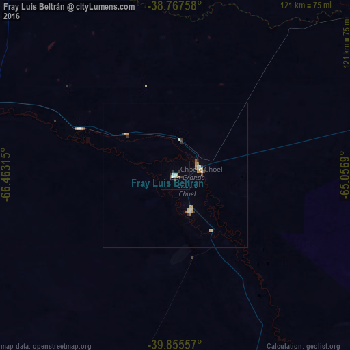
98.64%Clear (daylight) street map image can be seen on geolist.org.
Map coordinates:
38° 46' 3.3" South, 66° 27' 47.3" West
39° 18' 49.3" South, 65° 45' 36.1" West
39° 51' 20.1" South, 65° 3' 24.8" West
Some cities around Fray Luis Beltrán sort by population:
• General Roca
160.2 km =99.5 mi,  281°
281°
• Villa Regina
115.1 km =71.5 mi, 281°
• San Antonio Oeste
172.2 km =107 mi,  156°
156°
• Choele Choel
9 km =5.6 mi,  72°
72°
• Lamarque
13.1 km =8.1 mi, 157°
• Ingeniero Luis A. Huergo
130.2 km =80.9 mi, 281°
• General Conesa
142 km =88.2 mi,  128°
128°
• Cervantes
143.8 km =89.4 mi, 281°
3855368 (p: 6,401)
Sources (retrieved 2019-11-25):
» Earth at Night: Flat Maps 2012, 2016