Choele Choel night lights from space
Night Light of Choele Choel (Rio Negro) from space (Argentina) Src. Average luminocity for 10x10km area is 10.5034% and for 50x50km: 1.1296%.
Analysis of Choele Choel night lights 2016
Square area 10x10 km:
 2.04%
2.04%90-99
1.36%80-89
1.19%70-79
0.85%60-69
2.04%50-59
1.36%40-49
0.85%30-39
0.85%20-29
0.51%10-19
0.51%0-9
88.44%Square area 50x50 km:
0.17%90-99
0.17%80-89
0.2%70-79
0.11%60-69
0.14%50-59
0.1%40-49
0.06%30-39
0.18%20-29
0.13%10-19
0.02%0-9
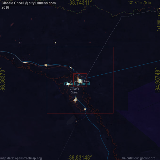
98.72%Clear (daylight) street map image can be seen on geolist.org.
Map coordinates:
38° 44' 35.2" South, 66° 21' 49.4" West
39° 17' 21.9" South, 65° 39' 38.2" West
39° 49' 53.3" South, 64° 57' 26.9" West
Some cities around Choele Choel sort by population:
• General Roca
168.2 km =104.5 mi,  279°
279°
• Villa Regina
123 km =76.4 mi, 279°
• San Antonio Oeste
171.5 km =106.6 mi,  159°
159°
• Lamarque
15.3 km =9.5 mi,  193°
193°
• Ingeniero Luis A. Huergo
138.1 km =85.8 mi, 280°
• Fray Luis Beltrán
9 km =5.6 mi,  252°
252°
• General Conesa
137.2 km =85.3 mi,  131°
131°
• Cervantes
151.7 km =94.3 mi, 279°
3861329 (p: 9,791)
Sources (retrieved 2019-11-25):
» Earth at Night: Flat Maps 2012, 2016