Villa Regina night lights from space
Night Light of Villa Regina (Rio Negro) from space (Argentina) Src. Average luminocity for 10x10km area is 28.1006% and for 50x50km: 2.3413%.
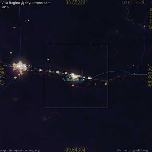
Analysis of Villa Regina night lights 2016
Square area 10x10 km:
 5.03%
5.03%90-99
3.25%80-89
3.41%70-79
2.6%60-69
3.9%50-59
2.44%40-49
6.01%30-39
5.03%20-29
4.22%10-19
31.33%0-9
32.79%Square area 50x50 km:
0.34%90-99
0.21%80-89
0.3%70-79
0.24%60-69
0.42%50-59
0.14%40-49
0.38%30-39
0.34%20-29
0.44%10-19
1.67%0-9
95.52%Clear (daylight) street map image can be seen on geolist.org.
Map coordinates:
38° 33' 8" South, 67° 46' 11.3" West
39° 6' 0" South, 67° 4' 0" West
39° 38' 36.7" South, 66° 21' 48.8" West
Some cities around Villa Regina sort by population:
• Neuquén
87.3 km =54.2 mi,  280°
280°
• Cipolletti
81.9 km =50.9 mi, 283°
• General Roca
45.2 km =28.1 mi, 279°
• Allen
67.1 km =41.7 mi, 281°
• Cinco Saltos
91.5 km =56.9 mi,  289°
289°
• General Fernández Oro
75.9 km =47.2 mi, 282°
• Ingeniero Luis A. Huergo
15.1 km =9.4 mi, 282°
• Cervantes
28.7 km =17.8 mi, 280°
3832647 (p: 31,209)
Sources (retrieved 2019-11-25):
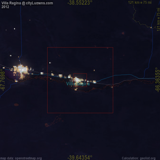
» Earth at Night: Flat Maps 2012, 2016