El Quebrachal night lights from space
Night Light of El Quebrachal (Salta) from space (Argentina) Src. Average luminocity for 10x10km area is 1.4603% and for 50x50km: 0.9425%.
Analysis of El Quebrachal night lights 2016
Square area 10x10 km:
 0%
0%90-99
0%80-89
0%70-79
1.39%60-69
0%50-59
0%40-49
0%30-39
0%20-29
0%10-19
0%0-9
98.61%Square area 50x50 km:
0.09%90-99
0.13%80-89
0.21%70-79
0.08%60-69
0.16%50-59
0.1%40-49
0.13%30-39
0.26%20-29
0.03%10-19
0%0-9
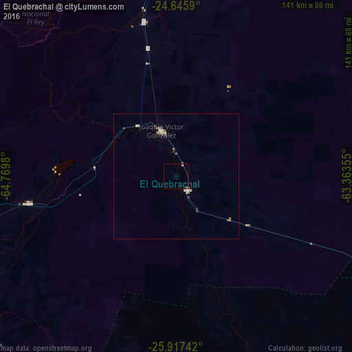
98.82%Clear (daylight) street map image can be seen on geolist.org.
Map coordinates:
24° 38' 45.2" South, 64° 46' 11.3" West
25° 16' 60" South, 64° 4' 0" West
25° 55' 2.7" South, 63° 21' 48.8" West
Some cities around El Quebrachal sort by population:
• San Pedro de Jujuy
142.1 km =88.3 mi,  325°
325°
• Joaquín V. González
19.8 km =12.3 mi,  342°
342°
• El Carril
145.3 km =90.3 mi,  279°
279°
• Las Lajitas
63.1 km =39.2 mi,  348°
348°
• Apolinario Saravia
94.8 km =58.9 mi,  4°
4°
• Taco Pozo
88.4 km =54.9 mi,  114°
114°
• El Galpón
59.9 km =37.2 mi,  259°
259°
• Ingenio La Esperanza
141.1 km =87.7 mi, 326°
3857012 (p: 10,243)
Sources (retrieved 2019-11-25):
» Earth at Night: Flat Maps 2012, 2016