El Carril night lights from space
Night Light of El Carril (Salta) from space (Argentina) Src. Average luminocity for 10x10km area is 22.2273% and for 50x50km: 8.9371%.
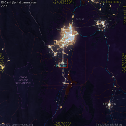
Analysis of El Carril night lights 2016
Square area 10x10 km:
 1.14%
1.14%90-99
1.7%80-89
4.92%70-79
1.14%60-69
4.36%50-59
4.17%40-49
4.92%30-39
3.6%20-29
3.98%10-19
18.18%0-9
51.89%Square area 50x50 km:
0.59%90-99
0.85%80-89
1.33%70-79
1.27%60-69
2.3%50-59
1.03%40-49
1.53%30-39
1.34%20-29
2.37%10-19
6.33%0-9
81.06%Clear (daylight) street map image can be seen on geolist.org.
Map coordinates:
24° 26' 8.1" South, 66° 11' 41.5" West
25° 4' 26.8" South, 65° 29' 30.3" West
25° 42' 33.5" South, 64° 47' 19" West
Some cities around El Carril sort by population:
• Salta
33 km =20.5 mi,  14°
14°
• San Salvador de Jujuy
99.8 km =62 mi, 11°
• San Pedro de Jujuy
113 km =70.2 mi,  34°
34°
• Palpalá
95.2 km =59.2 mi,  17°
17°
• Cafayate
121.3 km =75.4 mi,  203°
203°
• Chicoana
5.5 km =3.4 mi,  231°
231°
• El Galpón
91 km =56.5 mi,  111°
111°
• Ingenio La Esperanza
115.1 km =71.5 mi, 34°
3858553 (p: 9,780)
Sources (retrieved 2019-11-25):
» Earth at Night: Flat Maps 2012, 2016