Joaquín V. González night lights from space
Night Light of Joaquín V. González (Salta) from space (Argentina) Src. Average luminocity for 10x10km area is 10.2826% and for 50x50km: 0.7828%.
Analysis of Joaquín V. González night lights 2016
Square area 10x10 km:
 1.38%
1.38%90-99
1.58%80-89
2.37%70-79
0.2%60-69
0.99%50-59
1.38%40-49
0.99%30-39
3.75%20-29
0%10-19
0%0-9
87.35%Square area 50x50 km:
0.09%90-99
0.13%80-89
0.18%70-79
0.08%60-69
0.09%50-59
0.06%40-49
0.08%30-39
0.23%20-29
0%10-19
0%0-9
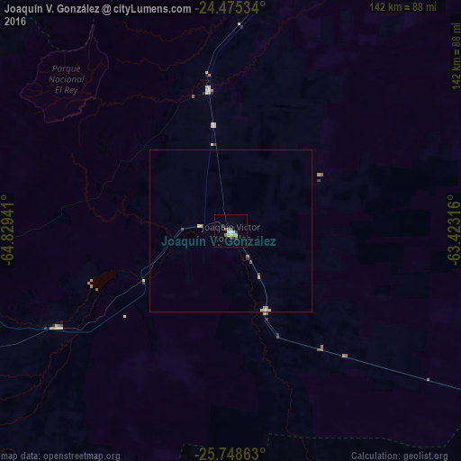
99.07%Clear (daylight) street map image can be seen on geolist.org.
Map coordinates:
24° 28' 31.2" South, 64° 49' 45.9" West
25° 6' 49.1" South, 64° 7' 34.6" West
25° 44' 55.1" South, 63° 25' 23.4" West
Some cities around Joaquín V. González sort by population:
• San Pedro de Jujuy
123.3 km =76.6 mi,  322°
322°
• El Quebrachal
19.8 km =12.3 mi,  162°
162°
• Las Lajitas
43.5 km =27 mi,  351°
351°
• Apolinario Saravia
76.9 km =47.8 mi,  9°
9°
• Taco Pozo
102.8 km =63.9 mi,  122°
122°
• El Galpón
60.7 km =37.7 mi,  240°
240°
• Palma Sola
127.6 km =79.3 mi, 351°
• Ingenio La Esperanza
122.2 km =75.9 mi, 323°
3853491 (p: 19,185)
Sources (retrieved 2019-11-25):
» Earth at Night: Flat Maps 2012, 2016