El Galpón night lights from space
Night Light of El Galpón (Salta) from space (Argentina) Src. Average luminocity for 10x10km area is 6.6468% and for 50x50km: 0.383%.
Analysis of El Galpón night lights 2016
Square area 10x10 km:
 0.6%
0.6%90-99
1.59%80-89
0.99%70-79
1.39%60-69
0.99%50-59
0%40-49
0.79%30-39
0.99%20-29
0.6%10-19
0.79%0-9
91.27%Square area 50x50 km:
0.02%90-99
0.09%80-89
0.04%70-79
0.08%60-69
0.14%50-59
0%40-49
0.03%30-39
0.04%20-29
0.02%10-19
0.03%0-9
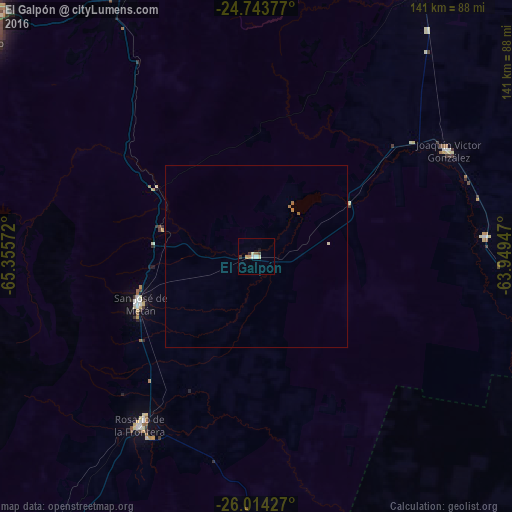
99.5%Clear (daylight) street map image can be seen on geolist.org.
Map coordinates:
24° 44' 37.6" South, 65° 21' 20.6" West
25° 22' 50.5" South, 64° 39' 9.3" West
26° 0' 51.4" South, 63° 56' 58.1" West
Some cities around El Galpón sort by population:
• Salta
101.1 km =62.8 mi,  310°
310°
• Joaquín V. González
60.7 km =37.7 mi,  60°
60°
• El Quebrachal
59.9 km =37.2 mi,  79°
79°
• El Carril
91 km =56.5 mi,  291°
291°
• Las Lajitas
86.1 km =53.5 mi,  32°
32°
• Apolinario Saravia
124.5 km =77.4 mi, 32°
• Chicoana
93.9 km =58.3 mi, 289°
• Trancas
113.6 km =70.6 mi,  213°
213°
3857974 (p: 8,357)
Sources (retrieved 2019-11-25):
» Earth at Night: Flat Maps 2012, 2016