Trancas night lights from space
Night Light of Trancas (Tucuman) from space (Argentina) Src. Average luminocity for 10x10km area is 4.8948% and for 50x50km: 0.8381%.
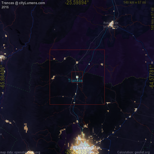
Analysis of Trancas night lights 2016
Square area 10x10 km:
 0.79%
0.79%90-99
0.79%80-89
0%70-79
0.99%60-69
0.6%50-59
0.2%40-49
0.6%30-39
1.79%20-29
1.59%10-19
0.6%0-9
92.06%Square area 50x50 km:
0.03%90-99
0.11%80-89
0.23%70-79
0.11%60-69
0.21%50-59
0.11%40-49
0.08%30-39
0.15%20-29
0.21%10-19
0.05%0-9
98.72%Clear (daylight) street map image can be seen on geolist.org.
Map coordinates:
25° 35' 56.2" South, 65° 59' 2.6" West
26° 13' 52.9" South, 65° 16' 51.3" West
26° 51' 37.3" South, 64° 34' 40.1" West
Some cities around Trancas sort by population:
• San Miguel de Tucumán
66.2 km =41.1 mi,  174°
174°
• Yerba Buena
65.2 km =40.5 mi,  183°
183°
• Tafí Viejo
55.7 km =34.6 mi, 177°
• Alderetes
66.7 km =41.4 mi, 167°
• Famaillá
92.3 km =57.4 mi,  187°
187°
• Monteros
106.3 km =66.1 mi, 191°
• Bella Vista
89.3 km =55.5 mi, 181°
• Cafayate
71.7 km =44.6 mi,  284°
284°
3833947 (p: 6,658)
Sources (retrieved 2019-11-25):
» Earth at Night: Flat Maps 2012, 2016