Las Varillas night lights from space
Night Light of Las Varillas (Cordoba) from space (Argentina) Src. Average luminocity for 10x10km area is 13.7326% and for 50x50km: 1.1425%.
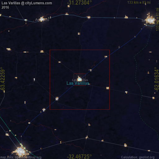
Analysis of Las Varillas night lights 2016
Square area 10x10 km:
 2.38%
2.38%90-99
2.01%80-89
2.75%70-79
0.92%60-69
2.93%50-59
0.73%40-49
1.47%30-39
0.18%20-29
0.55%10-19
0.37%0-9
85.71%Square area 50x50 km:
0.14%90-99
0.14%80-89
0.28%70-79
0.1%60-69
0.25%50-59
0.09%40-49
0.09%30-39
0.11%20-29
0.11%10-19
0.1%0-9
98.58%Clear (daylight) street map image can be seen on geolist.org.
Map coordinates:
31° 16' 22.9" South, 63° 25' 21.3" West
31° 52' 19.5" South, 62° 43' 10.1" West
32° 28' 2.1" South, 62° 0' 58.8" West
Some cities around Las Varillas sort by population:
• Villa María
77.1 km =47.9 mi,  219°
219°
• San Francisco
77.9 km =48.4 mi,  50°
50°
• Arroyito
59.2 km =36.8 mi,  328°
328°
• San Jorge
81.2 km =50.5 mi,  91°
91°
• Villa Nueva
79.8 km =49.6 mi, 218°
• Oliva
82.4 km =51.2 mi,  256°
256°
• Devoto
65.1 km =40.5 mi,  36°
36°
• Pozo del Molle
25 km =15.5 mi,  229°
229°
3847613 (p: 14,649)
Sources (retrieved 2019-11-25):
» Earth at Night: Flat Maps 2012, 2016