La Calera night lights from space
Night Light of La Calera (Cordoba) from space (Argentina) Src. Average luminocity for 10x10km area is 57.0122% and for 50x50km: 33.3845%.
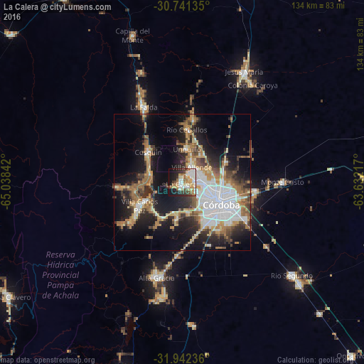
Analysis of La Calera night lights 2016
Square area 10x10 km:
 11.01%
90-99
14.34%80-89
9.62%70-79
8.57%60-69
9.09%50-59
4.02%40-49
4.55%30-39
6.47%20-29
9.97%10-19
20.1%0-9
2.27%Square area 50x50 km:
8.11%90-99
4.85%80-89
3.84%70-79
3.81%60-69
6%50-59
3.46%40-49
4.1%30-39
4.65%20-29
7.68%10-19
16.89%0-9
36.62%Clear (daylight) street map image can be seen on geolist.org.
Map coordinates:
30° 44' 28.9" South, 65° 2' 18.3" West
31° 20' 37.6" South, 64° 20' 7" West
31° 56' 32.5" South, 63° 37' 55.8" West
Some cities around La Calera sort by population:
• Córdoba
16.6 km =10.3 mi,  117°
117°
• Villa Carlos Paz
17.8 km =11.1 mi,  239°
239°
• Villa Allende
6.7 km =4.2 mi,  34°
34°
• Cosquín
16.5 km =10.3 mi,  311°
311°
• Río Ceballos
19.9 km =12.4 mi,  3°
3°
• Unquillo
12.7 km =7.9 mi,  8°
8°
• Malagueño
13.6 km =8.5 mi,  189°
189°
• Salsipuedes
23.3 km =14.5 mi, 9°
3852374 (p: 24,796)
Sources (retrieved 2019-11-25):
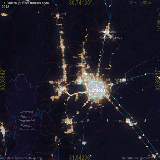
» Earth at Night: Flat Maps 2012, 2016