Alderetes night lights from space
Night Light of Alderetes (Tucuman) from space (Argentina) Src. Average luminocity for 10x10km area is 70.8254% and for 50x50km: 20.6997%.
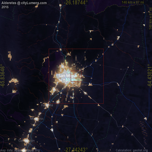
Analysis of Alderetes night lights 2016
Square area 10x10 km:
 15.87%
90-99
19.44%80-89
6.35%70-79
7.94%60-69
21.63%50-59
8.33%40-49
3.57%30-39
5.95%20-29
8.33%10-19
2.58%0-9
0%Square area 50x50 km:
4.4%90-99
3.24%80-89
1.95%70-79
2.44%60-69
4.26%50-59
2.17%40-49
2.57%30-39
3.23%20-29
4.76%10-19
9.26%0-9
61.72%Clear (daylight) street map image can be seen on geolist.org.
Map coordinates:
26° 11' 14.8" South, 65° 50' 11.3" West
26° 49' 0" South, 65° 7' 60" West
27° 26' 32.7" South, 64° 25' 48.8" West
Some cities around Alderetes sort by population:
• San Miguel de Tucumán
8.9 km =5.5 mi,  264°
264°
• Yerba Buena
18.2 km =11.3 mi,  270°
270°
• Tafí Viejo
15.6 km =9.7 mi,  306°
306°
• Famaillá
37.6 km =23.4 mi,  225°
225°
• Monteros
53.2 km =33.1 mi,  222°
222°
• Bella Vista
29.4 km =18.3 mi,  214°
214°
• Simoca
54.3 km =33.7 mi,  204°
204°
• Trancas
66.7 km =41.4 mi,  347°
347°
3866367 (p: 38,466)
Sources (retrieved 2019-11-25):
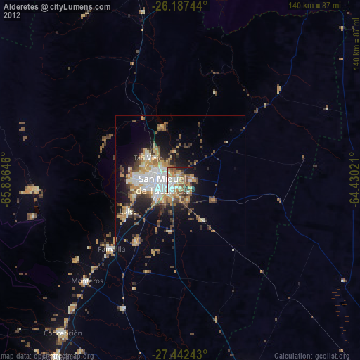
» Earth at Night: Flat Maps 2012, 2016